Huíla Province, Southwestern province in Angola
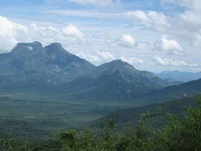
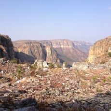
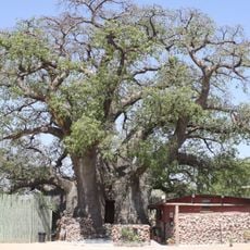
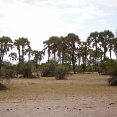
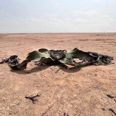
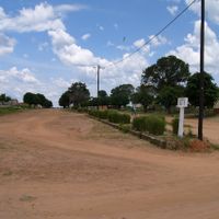
Huíla Province is a southwestern province in Angola with mountainous terrain that rises into plateaus and descends into river valleys. The landscape varies across the region, featuring elevated areas and lower zones that create different environments for farming and settlement.
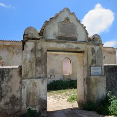
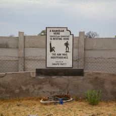
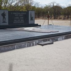
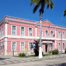
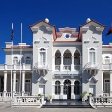
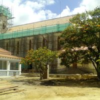
The region developed as an administrative area during Portuguese colonial rule and maintained its structure after Angola's independence in 1975. The area experienced less direct conflict during the colonial war compared to other parts of the country.
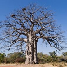
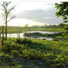
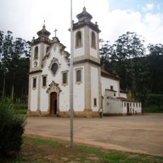
The Mwila people preserve their traditions across the highlands through crafts and community practices rooted in generations of living on these plateaus. Pastoral groups move with the seasons, shaping how villages and settlements develop in different areas.
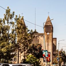
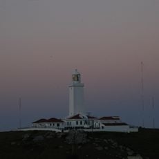
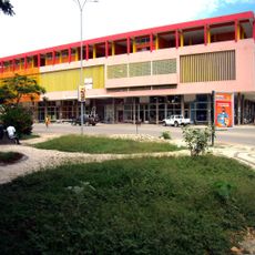
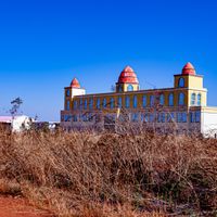
Lubango, the provincial capital, serves as the main hub for getting around and conducting business across the region. Exploring the area works best when you move at a steady pace to experience the different elevations and terrain types throughout the province.
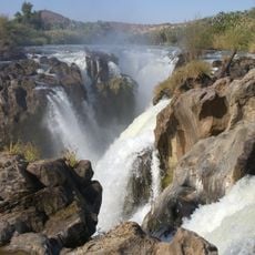
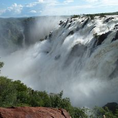
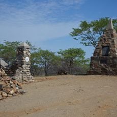
The Leba Hill road winds through sharp curves that leave an impression on drivers and travelers navigating its challenging route. Bicauri National Park stands as one of the country's oldest protected areas, sheltering local wildlife and natural habitats.
The community of curious travelers
AroundUs brings together thousands of curated places, local tips, and hidden gems, enriched daily by 60,000 contributors worldwide.