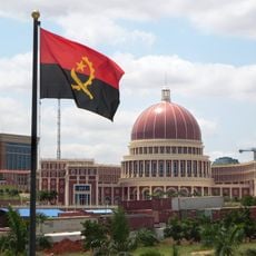
Angola, Nation in south-central Africa
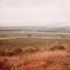
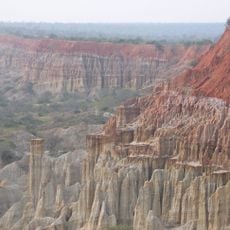
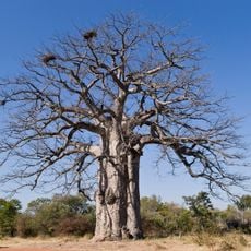
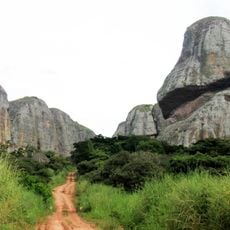
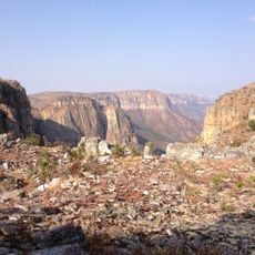
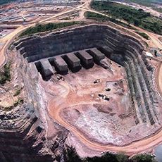
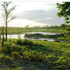
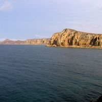
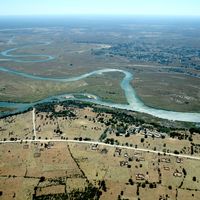
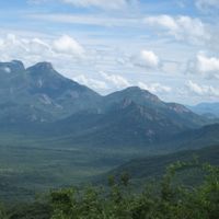
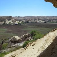
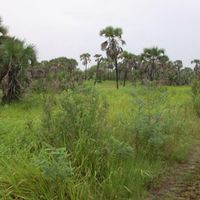
This country covers 1,246,700 square kilometers (481,400 square miles) between the Atlantic Ocean and neighboring Namibia, Democratic Republic of Congo, and Zambia. Land ranges from coastal plains through central plateaus to forested areas in the north, while several rivers including the Cuanza flow through the territory and climate zones shift from tropical to semi-arid depending on elevation and distance from the ocean.
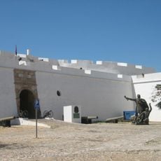
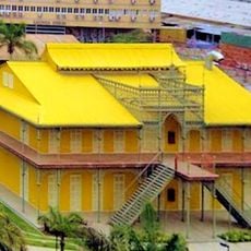
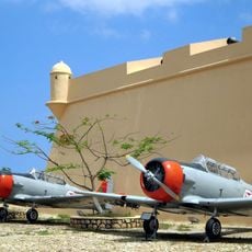
Portuguese mariners reached the coast in 1483 and set up trading posts that grew into colonial administrations over the following centuries. After long external control, independence arrived in 1975 and was followed by civil war until 2002, since when reconstruction and economic growth have been the focus.
More than ten ethnic groups live across this country and maintain separate traditions in music, dance, and handcraft that shape everyday life. Kimbundu, Umbundu, and Kikongo are spoken widely alongside Portuguese, showing the linguistic variety found here.
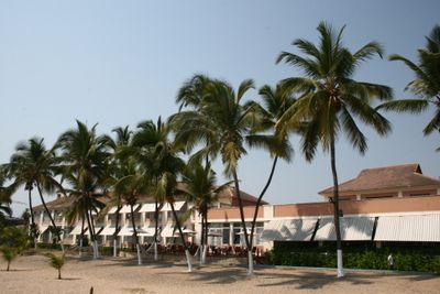
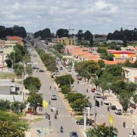
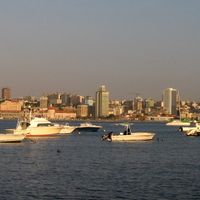
The capital Luanda has Quatro de Fevereiro International Airport with regular flights to Africa, Europe, and the Americas, and visitors must obtain a visa through embassies or online platforms before arrival. The dry season from May through October brings more comfortable conditions for overland travel, while urban centers stay reachable year round with lodging from international hotels to local guesthouses.
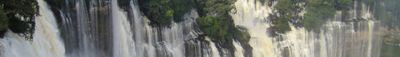
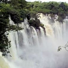
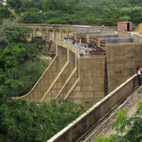
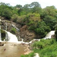
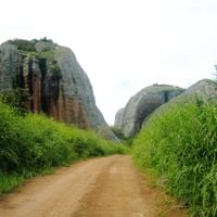
Kalandula Falls in the north drop 105 meters (344 feet) and reach 400 meters (1,312 feet) across during the rainy season. This formation counts among the tallest waterfalls in Africa yet draws far fewer visitors than similar natural sites across the continent, offering a quieter experience for those who travel there.
The community of curious travelers
AroundUs brings together thousands of curated places, local tips, and hidden gems, enriched daily by 60,000 contributors worldwide.