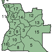
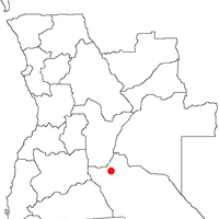
Cuando Cubango Province, Province in southeastern Angola
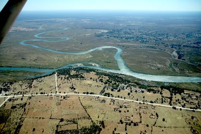
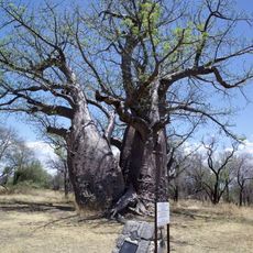
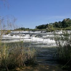
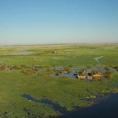
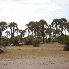
Cuando Cubango is a province in southeastern Angola, characterized by a vast semi-arid landscape shaped by two major rivers that define its borders. The terrain consists of scattered settlements, bushland, and open plains with a sparse population spread across several municipalities.
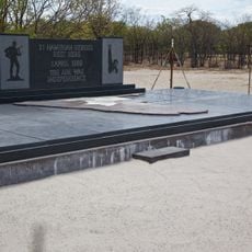
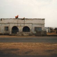
The province remained sparsely populated frontier territory until the late 20th century when it became central to regional conflict and military operations. This period fundamentally altered the region's development and left lasting impacts on its landscape and communities.
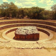
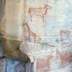
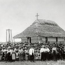
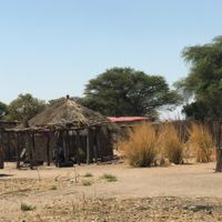
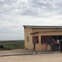
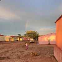
Several ethnic groups live here, each maintaining distinct traditions and ways of life that shape how communities interact with the land. Villages and daily activities reflect these different cultural practices across the semi-arid landscape.
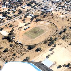
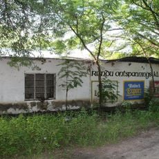
Menongue, the provincial capital, serves as the main access point with flight and road connections to other regions. Travel is easier during the dry season when roads are more passable than during rainy periods.
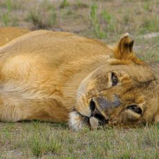
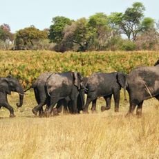
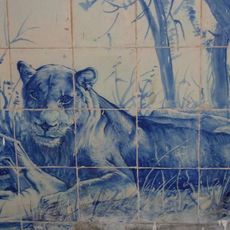
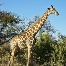
The region once housed a wild dog species that no longer exists here due to habitat destruction from military operations. This ecological shift reveals how conflicts can profoundly reshape the natural environment of entire territories.
The community of curious travelers
AroundUs brings together thousands of curated places, local tips, and hidden gems, enriched daily by 60,000 contributors worldwide.