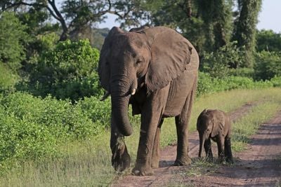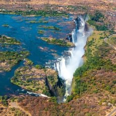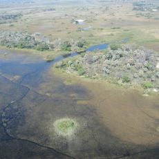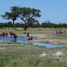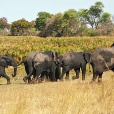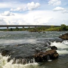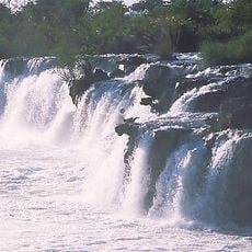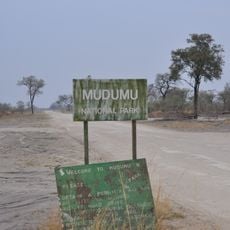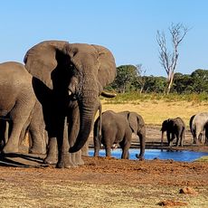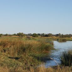
Luengue-Luiana National Park, National park in Cuando Cubango Province, Angola.
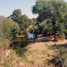
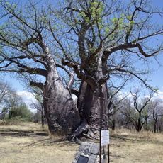
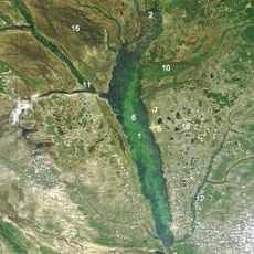
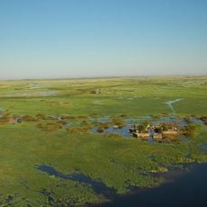
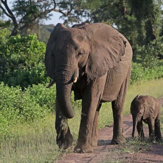
Luengue-Luiana National Park covers 42,000 km² in southeastern Angola, bounded by the Kavango River to the west and southwest, Namibia to the south, the Cuando River to the east and Longa-Mavinga National Park to the north. Most of it is open woodland of Burkea, Baikiaea, Pterocarpus and Erythrophleum in the south and Erythrophleum, Burkea, Julbernardia and Guibourtia in the north, with sparse grass on leached sandy soil. Along the Cuando lie seasonally or permanently flooded grasslands 10–15 km wide, where papyrus grows closest to the water and Phragmites and Miscanthus in shallower areas.
The area was once a colonial hunting reserve before becoming a national park in 2011. This transformation followed years of wildlife decline caused by the Angolan Civil War.
The park lies in the Kavango-Zambezi Transfrontier Conservation Area, a network of protected areas across Angola, Namibia, Botswana, Zambia and Zimbabwe. Across the Cuando River to the east is Zambia's Sioma Ngwezi National Park; to the south in Namibia is Bwabwata National Park. The park is administered by Angola's Ministry of Hotels and Tourism.
The park lies in the remote southeastern corner of Angola, bounded by the Kavango River to the west and southwest and the Cuando River to the east. Many land mines remain from the civil war, and in 2019 HALO Trust counted 153 minefields across this park and neighbouring Longa-Mavinga, so travel is only safe with clearance information and local guidance.
The park is part of a cross-border conservation zone that links five countries. This network spans Angola, Namibia, Botswana, Zambia, and Zimbabwe, creating one of Africa's largest connected wildlife corridors.
The community of curious travelers
AroundUs brings together thousands of curated places, local tips, and hidden gems, enriched daily by 92,750 contributors worldwide.