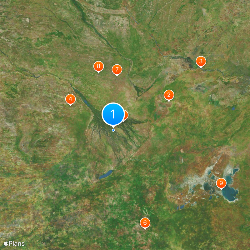
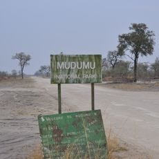
Okavango Delta, Inland river delta in northern Botswana
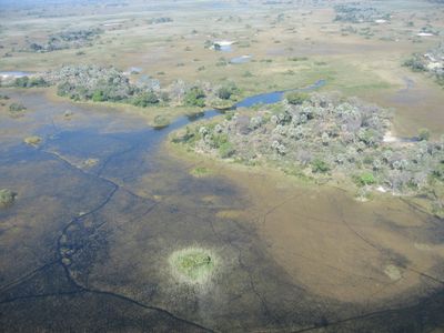
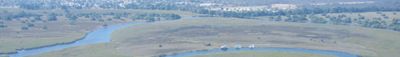
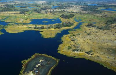
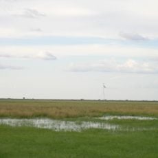
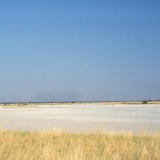
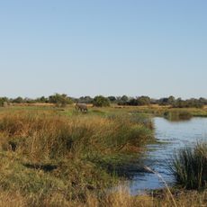
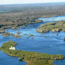
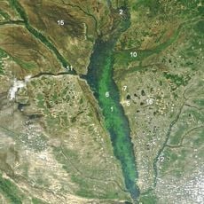
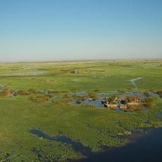
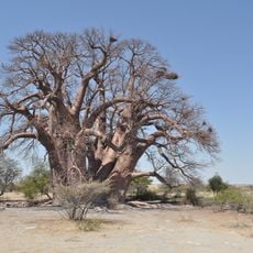
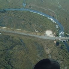
The Okavango Delta is an expansive inland delta in northern Botswana, formed where the Okavango River from Angola spreads into the Kalahari Desert, creating a network of channels, islands, and marshland. The area includes permanently flooded zones and drier islands covered by mopane woodland and palms, with water levels shifting according to the seasonal pulse.
The river shifted its course eastward millions of years ago as tectonic movements along the East African Rift reshaped the landscape. The modern form of the delta emerged after the collapse of a vast lake that once covered much of the Kalahari, as climatic conditions changed during the Holocene.
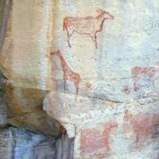
The name comes from the BaTawana language, referring to the great river that disappears into the sand, while local communities still use mokoros, narrow dugout canoes carved from ebony or jackalberry trees, to travel between islands. Traditional fishing with woven baskets and the harvesting of water lilies shape daily routines on seasonal floodplains, where settlements are built on raised mounds formed by termite activity.
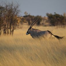
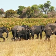
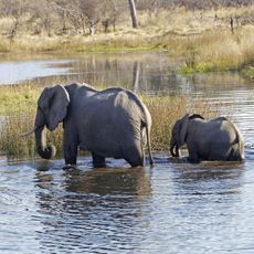
Most visitors reach the area by small aircraft landing on bush airstrips near camps, as few roads penetrate the wetlands. The best months for wildlife observation run from June through September, when floodwaters arrive from Angola and concentrate animals on islands.
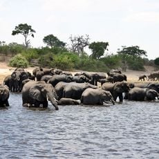
The flood reaches its peak in the middle of the dry season, as water takes months to seep through the flat terrain after rains fall in Angola. Wildlife responds to this delayed rhythm, with elephants and buffalo moving toward water during the dry winter while the surrounding desert withers.
The community of curious travelers
AroundUs brings together thousands of curated places, local tips, and hidden gems, enriched daily by 60,000 contributors worldwide.