Nxai Pan National Park, Salt pan national park in northeastern Botswana.
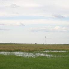
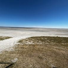
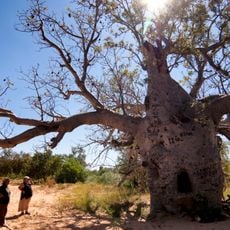
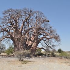
Nxai Pan National Park covers 2,578 km² in northeastern Botswana, on the northeastern edge of the Kalahari at about 900 m above sea level. Its three salt pans, Nxai Pan, Kudiakam Pan and Kgama Pan, are fossil lake beds of the Makgadikgadi system; Nxai Pan alone covers roughly 40 km². Outside the pans lie dry savanna grasslands, mopane woodland, umbrella acacias and baobabs.
The park's area belonged to the San before the old trek cattle route from Ngamiland to Kazungula passed through it between 1950 and 1963, until veterinary fences against foot-and-mouth disease cut the route. In 1970 a 1,676 km² reserve was declared around Nxai Pan, and in 1992 it was enlarged to 2,578 km² with the Kudiakam Pan area and raised to national park status.
The park takes its name from the nxai, a hook-shaped metal rod once used to dig springhares out of their burrows. The area was part of San settlement land before it became a reserve, and from 1950 to 1963 the "old trek" cattle route to Kazungula passed through what is now the park.
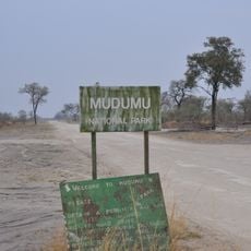
There are no paved roads inside the park; most tracks, including the 37 km sand track from the Maun–Nata road to the gate, need a 4x4 and become barely passable after heavy rain. There are no restaurants, shops or fuel; the nearest fuel is at Gweta, 65 km from the turn-off. The park has only two unfenced campsites with rudimentary sanitation, and camping at Baines' Baobabs requires prior arrangement with the park wardens.
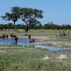
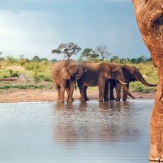
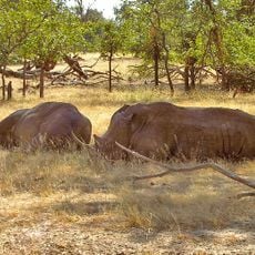
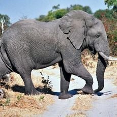
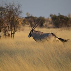
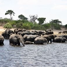
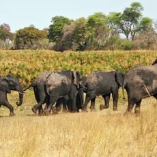
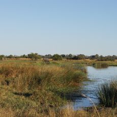
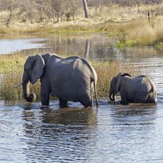
The park lies on the migration route between the Okavango Delta and Hwange National Park in Zimbabwe, and the grasslands around Makgadikgadi. In the rainy season it fills with elephants, thousands of zebras and spießbock antelopes, while lions, bat-eared foxes and spotted hyenas can be seen year-round.
The community of curious travelers
AroundUs brings together thousands of curated places, local tips, and hidden gems, enriched daily by 93,084 contributors worldwide.