Victoria Falls National Park, National park and Ramsar site at Victoria Falls, Zimbabwe
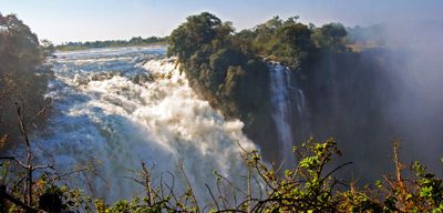
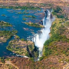
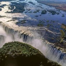
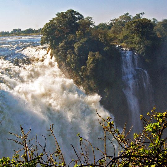
Victoria Falls National Park covers 23.4 km² along the south and east banks of the Zambezi in north-western Zimbabwe, from about 6 km above the falls to 12 km below. The river drops over a wide cliff edge in white, frothy sheets, sending thick spray over dark green trees and shrubs on the rising ground above the rock face.
The park was established in 1950 to protect the falls and surrounding landscape. The falls became known to Western audiences through David Livingstone's documentation in 1855, making it a globally recognized natural site long before formal protection began.
The local Tonga people perform traditional ceremonies where ancestral spirits are honored with rituals passed down through generations.
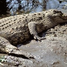
The park runs along the Zambezi from about 6 km above the falls to 12 km below, with the town of Victoria Falls on its western boundary. Walking safaris and game drives are possible, and crocodiles may be seen in the river. Take precautions against malaria.
The rainforest in the spray zone includes mahogany trees not seen elsewhere in the region, along with ferns, palms and liana vines. The damp, shaded ground also supports a rich diversity of fungi that decompose organic matter and support plant health.
The community of curious travelers
AroundUs brings together thousands of curated places, local tips, and hidden gems, enriched daily by 93,203 contributors worldwide.