
Catabola, municipality of Angola
Location: Bié Province
Location: Huambo Province
GPS coordinates: -12.14094,17.24148
Latest update: April 16, 2025 23:33
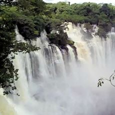
Kalandula Falls
367.4 km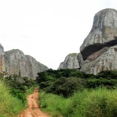
Pedras Negras de Pungo Andongo
330.1 km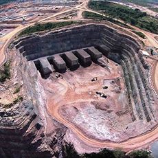
Laúca Dam
353.2 km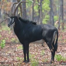
Cangandala National Park
266.1 km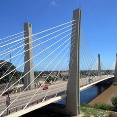
4 de Abril Bridge
403.8 km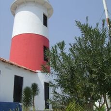
Lobito Lighthouse
397.2 km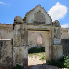
Fort Saint Peter
403.7 km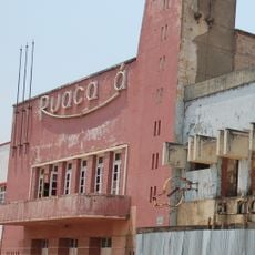
Cine Ruacaná
176.6 km
Monte Catuco
188.3 km
Monte Canhanela
200.8 km
Serra Tchilono
215.8 km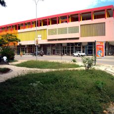
Municipal Market
402.7 km
Sumi
193 km
Monte Nunda
202.5 km
Monte Tchilengue
173.1 km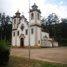
Igreja Matriz de Uaco Cungo
247 km
Monte Tchiungue
217.2 km
Monte Lucossi
208.1 km
Monte Candjangui
197.4 km
Monte Uengo
221.2 km
Monte Cassuma
190.2 km
Monte Dunda
204.4 km
Monte Lossengue
211.3 km
Monte Casseque
195.9 km
Monte Luponde
206.6 km
Monte Capacata
196.2 km
Monte Combeu
199.5 km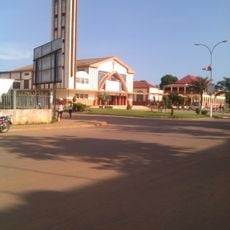
Cathedral of St. John the Baptist, N'dalatando
405.4 kmReviews
Visited this place? Tap the stars to rate it and share your experience / photos with the community! Try now! You can cancel it anytime.
Discover hidden gems everywhere you go!
From secret cafés to breathtaking viewpoints, skip the crowded tourist spots and find places that match your style. Our app makes it easy with voice search, smart filtering, route optimization, and insider tips from travelers worldwide. Download now for the complete mobile experience.

A unique approach to discovering new places❞
— Le Figaro
All the places worth exploring❞
— France Info
A tailor-made excursion in just a few clicks❞
— 20 Minutes