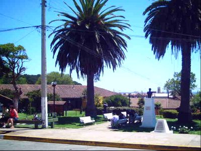
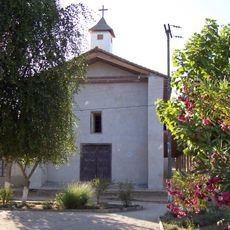
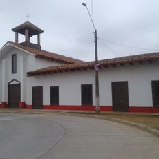
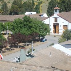
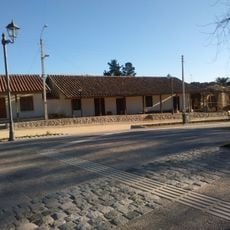
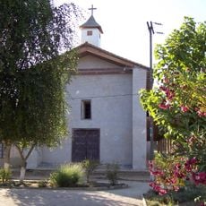
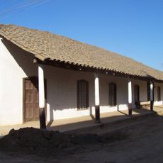
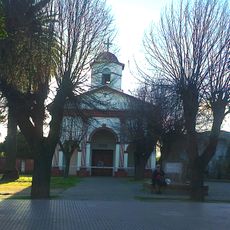
Pelluhue, Coastal commune in Cauquenes Province, Chile.
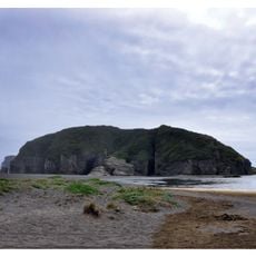
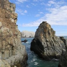
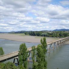
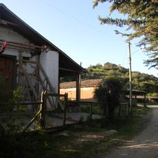
Pelluhue is a coastal commune in Cauquenes Province featuring sandy beaches and natural landscapes that stretch between the regions of Chanco and Cobquecura. The area contains diverse ecosystems shaped by the Pacific Ocean and supports various plants and animals.
Pelluhue was established in 1979 when two separate towns merged to form a new administrative division in the region. This unification created the modern commune as it exists today.
The name Pelluhue comes from the Mapudungun language meaning "land of clams," reflecting how local communities have long depended on harvesting shellfish from these coastal waters.
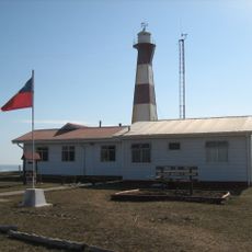
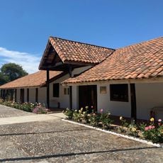
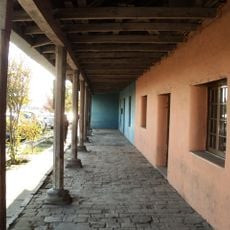
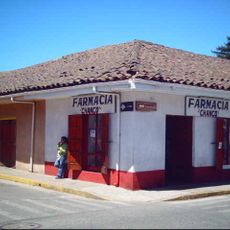
The main administrative center is located in Curanipe and offers public services for residents and visitors. The position between Chanco and Cobquecura makes reaching this area straightforward via coastal roads from neighboring communities.
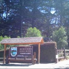
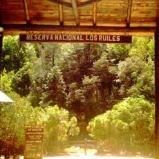
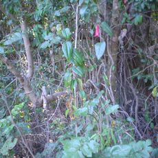
The Los Ruiles National Reserve sits at the eastern edge of this area and protects rare native forest that contrasts sharply with the coastal plains. This forest reserve shelters specialized plant species found only in the Chilean Coast Range.
Location: Cauquenes Province
Inception: 1979
Capital city: Curanipe
Elevation above the sea: 15 m
Website: http://sinim.gov.cl/ReportNac2003.asp
GPS coordinates: -35.83333,-72.63333
Latest update: December 7, 2025 19:30
Stone church
33.3 km
Carranza lighthouse
30.4 km
Rocas de Constitución
58.1 km
San Agustín de Puñual
65.3 km
Federico Albert National Reserve
14 km
Los Ruiles National Reserve
12 km
Puente Ñipas
85.7 km
Palmilla
80.9 km
Los Queules National Reserve
13 km
Puente Viejo sobre el Río Itata
72.5 km
Church of Huenchullami
88.1 km
Iglesia de Nirivilo
58.7 km
Casco histórico de Cobquecura
36.4 km
Sector de los Hombres Ilustres
83.2 km
Iglesia del Sagrado Corazón de Jesús
88.1 km
Iglesia del Niño Jesús, Villa Alegre
82.4 km
Iglesia de San Luis Gonzaga, Sauzal
47.4 km
Huerta del Maule
65.2 km
Iglesia de Nirivilo
58.7 km
Parroquia San Luis Gonzaga de Sauzal
47.4 km
Memorial del Detenido Desaparecido de Parral
80.6 km
Sector de Villa Alegre
82.5 km
Nirivilo
58.7 km
Perquilauquén Railway Bridge
82.5 km
Pueblo de Chanco
14.4 km
Memorial del Detenido Desaparecido de Constitución
59.4 km
Templo parroquial Niño Jesús de Villa Alegre
82.4 km
Museo Municipal y Casa de la Cultura de Villa Alegre
82.5 kmVisited this place? Tap the stars to rate it and share your experience / photos with the community! Try now! You can cancel it anytime.
Discover hidden gems everywhere you go!
From secret cafés to breathtaking viewpoints, skip the crowded tourist spots and find places that match your style. Our app makes it easy with voice search, smart filtering, route optimization, and insider tips from travelers worldwide. Download now for the complete mobile experience.
A unique approach to discovering new places❞
— Le Figaro
All the places worth exploring❞
— France Info
A tailor-made excursion in just a few clicks❞
— 20 Minutes