Cartagena, Coastal commune in San Antonio Province, Chile
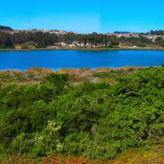
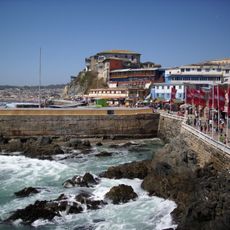
Cartagena is a coastal commune in San Antonio Province in central Chile, spread across hilly terrain. The settlement combines urban areas with rural zones and sits on elevated ground overlooking the Pacific.
The area served as a major grain producer during the colonial period, with harvests shipped to Peru and Spain. Later the economy shifted as it developed into a residential destination for wealthier settlers.
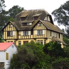
Writers and artists settled here in the late 1800s, drawn to the coastline and establishing it as a creative hub. This heritage remains visible in the architecture and cultural life of the town today.
Most visitors focus on the urban coastal areas where restaurants, shops, and lodging are easy to find. If exploring the region, come on foot or by car since the rural sections are less developed for foot traffic.
For decades the town was reachable only through challenging mountain passes, which shaped its development differently from other coastal towns. This isolation helped it retain its own identity rather than becoming a typical seaside resort.
The community of curious travelers
AroundUs brings together thousands of curated places, local tips, and hidden gems, enriched daily by 60,000 contributors worldwide.