San Felipe, Provincial capital in Valparaíso Region, Chile
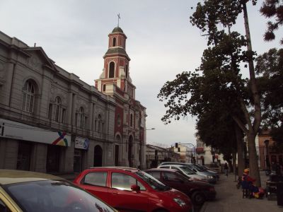
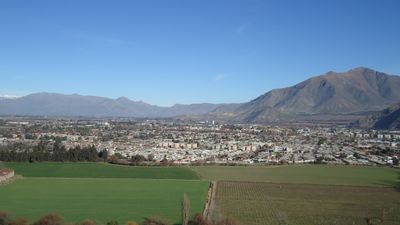
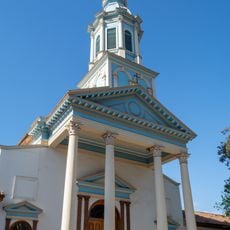
San Felipe is a city in a fertile valley along the Aconcagua River at 654 meters elevation, surrounded by mountains and farmland. It serves as an administrative center for the Valparaíso Region with tree-lined streets and colonial-era buildings throughout its layout.
José Antonio Manso de Velasco founded the settlement in 1740 as Villa de San Felipe el Real following Spanish colonial urban design standards. The town became an important administrative and trading hub along the route connecting the Andes mountains to the Pacific coast.
The city received its coat of arms from King Charles III of Spain in 1770, featuring the motto 'Strong and Happy' which still appears in public spaces today.
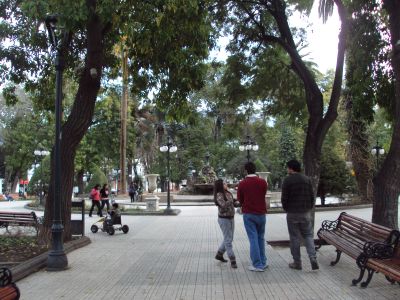
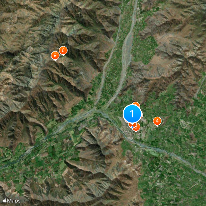
The city sits 88 kilometers from Santiago and is easily reached by highway, while regular train connections serve Valparaíso. Visitors will find a compact downtown center with shops and local services that can be explored on foot.
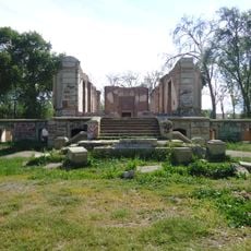
The city earned the title 'Heroic City' in 1813 when its residents resisted royalist attacks during Chile's independence war. This episode is still remembered in local commemorations and museums, shaping the town's identity to this day.
Location: San Felipe
Inception: 1740
Elevation above the sea: 654 m
Website: http://sanfelipedeaconcagua.cl
GPS coordinates: -32.75070,-70.72510
Latest update: December 6, 2025 21:26
La Campana National Park
43.8 km
Santuario de Santa Teresa de Los Andes
16.4 km
Cerro El Roble
36.8 km
Ocoa
35.1 km
Hacienda Quilpué
2 km
Estadio Municipal de San Felipe
621 m
Iglesia de las Carmelitas Descalzas, Los Andes
14.6 km
Enjoy Santiago
20.1 km
Iglesia de San Antonio de Padua (El Almendral)
3 km
Estadio Regional de Los Andes
15 km
Iglesia del Buen Pastor, San Felipe
741 m
Cerro El Roble Observatory
36.9 km
La Campana-Peñuelas
30.6 km
Capilla del Retiro
17.2 km
Aeródromo El Algarrobo
39.9 km
Edificio de la Gobernación de Los Andes
15 km
Museo y Centro Cultural Presidente Pedro Aguirre Cerda
16.7 km
Capilla de Lo Vicuña
17.7 km
Putaendo
13.7 km
Casa de Domingo Faustino Sarmiento
16.6 km
Ex Railway Station Andes
14.4 km
Morro del Maqui
30.5 km
Casa de Domingo Faustino Sarmiento
16.5 km
Cerro La Chupalla
35.3 km
Casa donde nació el Presidente Pedro Aguirre Cerda
16.4 km
Centro histórico de Los Andes
15 km
Hacienda Chacabuco
31.1 km
Casa donde nació José Antonio Salinas
13.9 kmVisited this place? Tap the stars to rate it and share your experience / photos with the community! Try now! You can cancel it anytime.
Discover hidden gems everywhere you go!
From secret cafés to breathtaking viewpoints, skip the crowded tourist spots and find places that match your style. Our app makes it easy with voice search, smart filtering, route optimization, and insider tips from travelers worldwide. Download now for the complete mobile experience.
A unique approach to discovering new places❞
— Le Figaro
All the places worth exploring❞
— France Info
A tailor-made excursion in just a few clicks❞
— 20 Minutes