Quehuisha, Mountain summit in Caylloma Province, Peru
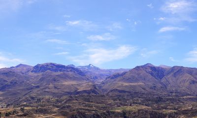
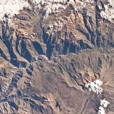
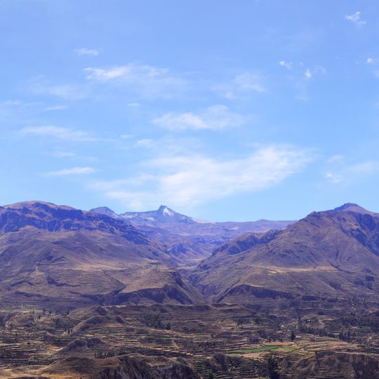
Quehuisha is a summit in the Chila range of the Andes, in Lari District, Caylloma Province, Arequipa Region, west of Mismi. Sources give its height as about 5,514 metres, or 5,170 metres in another account. Seen from the terraced slopes below, only the pointed, snow-capped upper cone shows above two flanking brown ridges; beneath the snow line the face is bare dark brown and purple-grey rock.
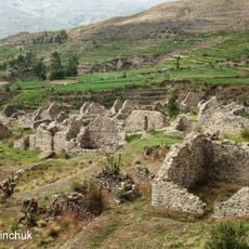
Quehuisha lies in the Chila range of the Andes, west of the mountain Mismi, in Lari District of Caylloma Province, Arequipa Region. The sources record no ancient settlements on its slopes; the documented features are the small lakes Ticllacocha and Jatuncocha and the village of Quihnisha south of the peak, where the Callumayo River rises and flows south to the Colca River.
The mountain's name may derive from Quechua words for Amaranthus caudatus or for liver, though the etymology is uncertain. Nearby stand the small lakes Ticllacocha, possibly "two-colored lake", and Jatuncocha, possibly "big lake", beside the hamlet of Quihnisha. The Callumayo River rises south of the peak between these lakes and runs south to the Colca River.
The site is best accessed through the nearby village of Quihnisha, where local guides and basic supplies for high-altitude journeys can be arranged. The best time to visit is during drier months when weather conditions are more stable.
The Callumayo River originates from springs located between two mountain lakes near the peak and forms a crucial part of a larger water network. This system ultimately feeds into the Colca River, supplying water to the valleys below.
The community of curious travelers
AroundUs brings together thousands of curated places, local tips, and hidden gems, enriched daily by 93,863 contributors worldwide.