Yacurí National Park, National park in Loja and Zamora Chinchipe provinces, Ecuador.
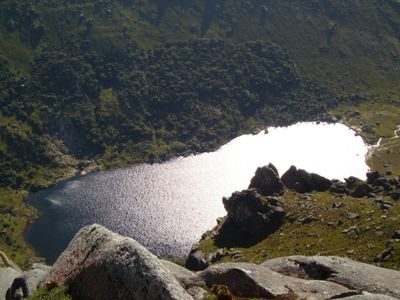
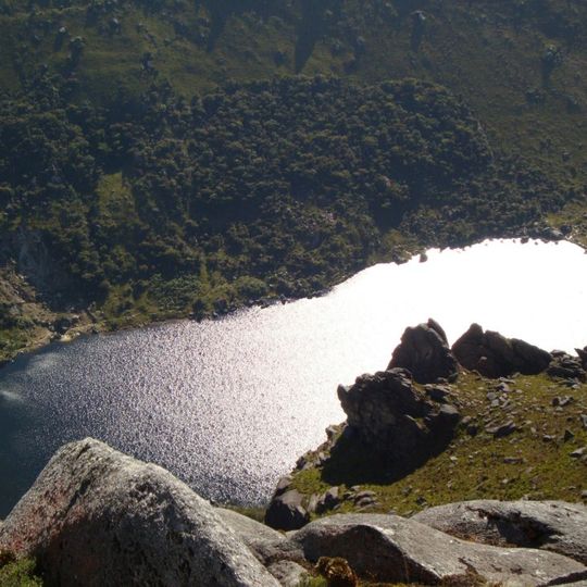
Yacurí National Park is a protected area covering approximately 73,000 hectares across two provinces and home to a range of different habitats. The landscape transitions from cloud forests and moorlands to 46 lakes situated at elevations between 2,400 and 3,600 meters.
Yacurí National Park was created in 2009, covering 431 km² on the border of Loja and Zamora Chinchipe provinces. It forms part of a larger Protected Forest of 733 km². The headwaters of the Chinchipe-Mayo basin to the east and the Catamayo-Chira basin to the west both rise within the park. The Inca Trail crosses the park, and petroglyphs, plazas and cemeteries lie on its northern side.
The park is named after Laguna Yacurí, its largest lake, not after any mountain range. Laguna Negra, a deep lake in the caldera of an extinct volcano, is known for its medicinal waters and is often visited by traditional priests, or medicine men, from nearby communities.
Access to the park is through Amaluza city, where an unpaved road about 30 kilometers long leads to the Jimbura entrance checkpoint. It is advisable to use sturdy vehicles and prepare for variable weather and mountainous terrain.
The area harbors exceptional botanical diversity with around 280 plant species, of which 32 exist nowhere else in the world. These plants thrive in the specific high-altitude conditions and support endangered animals such as mountain tapirs and spectacled bears.
The community of curious travelers
AroundUs brings together thousands of curated places, local tips, and hidden gems, enriched daily by 94,333 contributors worldwide.