Loja Province, Administrative province in southern Ecuador
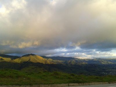
This administrative division sits in southern Ecuador and borders El Oro, Azuay, and Zamora-Chinchipe provinces as well as Peru to the south. The territory runs from western lowlands through central highlands and down toward eastern slopes, creating a landscape of varied elevations and climates.
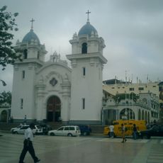
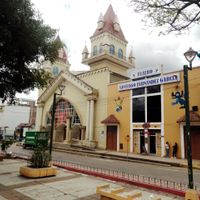
The region gained its status as a separate administrative unit in 1824, shortly after Ecuador became independent from Spain. The city of Loja was named as the administrative center and has since coordinated governance across the various cantons.
The population of 485,421 residents includes a majority of Mestizo inhabitants, alongside Indigenous communities and Afro-Ecuadorians, each contributing to regional traditions.
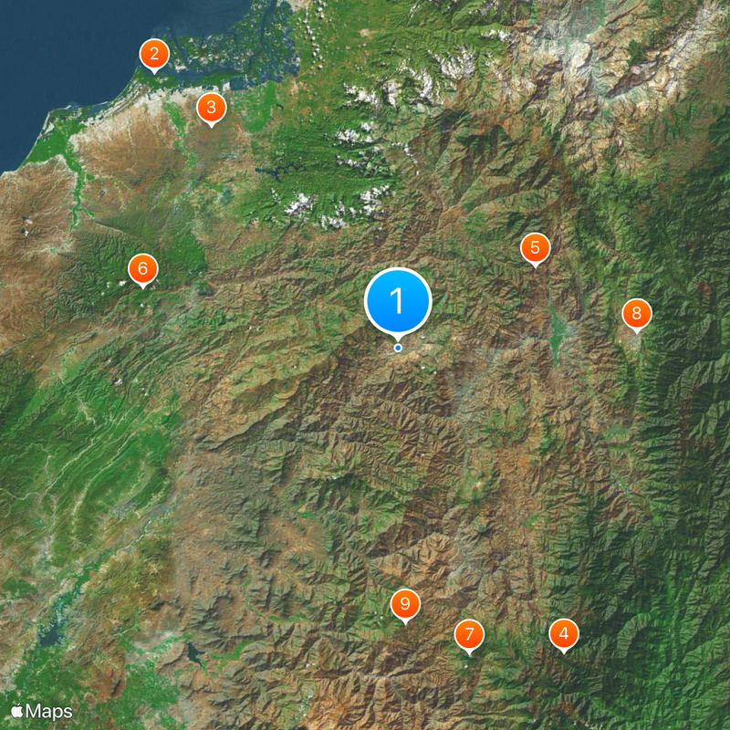
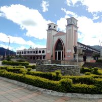
Roads connect the sixteen cantons and provide access to different parts of the region, which spans several climate zones. Visitors should account for the elevation changes, as weather shifts noticeably from western valleys to eastern mountain areas.
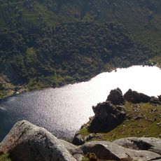
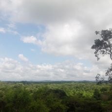
Podocarpus National Park lies partly within the boundaries of this administrative unit and protects rare cloud forests and highland ecosystems. These areas host many plant species found only in the Andes and attract birdwatchers from around the world.
Location: Ecuador
Inception: June 25, 1824
Capital city: Loja
Shares border with: El Oro Province, Azuay Province, Zamora Chinchipe, Tumbes Department, Piura Department
Website: https://prefecturaloja.gob.ec
GPS coordinates: -4.03333,-79.73333
Latest update: December 12, 2025 23:35
Tumbes Mangals National Sanctuary
91 km
Arenillas Ecological Reserve
71.7 km
Yacurí National Park
85.3 km
Basilica of El Cisne
39.7 km
Tumbes National Reserve
64.8 km
Aypate
77.1 km
Cathedral of Loja-Parroquia El Sagrario
59.2 km
Church of Our Lady of the Pillar
67.6 km
Santa Ana
94.8 km
Jardín botánico Reinaldo Espinosa
6 km
Cerro de Arcos
60.8 km
St. Nicholas Cathedral, Tumbes
95.9 km
Macará River
53.3 km
Angostura Faical Regional Conservation Area
68.9 km
Tren Crucero
59.3 km
Museo de Sitio de Cabeza de Vaca “Gran Chilimasa”
96.3 km
Reservorio San Lorenzo
89.6 km
El Cañón (dalama sa Peru, Tumbes, lat -3,82, long -80,47)
85 km
Cañón del Tigre (dalama sa Peru)
86.7 km
Bosque Seco
31 km
Casa de Feijoo
95.6 km
Casa de Peña
95.4 km
Cañón del Mango
82.6 km
EC-CV-25/CS-2011
62.8 km
EC-CT-23/CS-2011
71.4 km
EC-SL-28/CS-2011
62.6 km
PE-ALP-60/CS-2011
76.8 km
Casa de Cabrera García
95.5 kmVisited this place? Tap the stars to rate it and share your experience / photos with the community! Try now! You can cancel it anytime.
Discover hidden gems everywhere you go!
From secret cafés to breathtaking viewpoints, skip the crowded tourist spots and find places that match your style. Our app makes it easy with voice search, smart filtering, route optimization, and insider tips from travelers worldwide. Download now for the complete mobile experience.
A unique approach to discovering new places❞
— Le Figaro
All the places worth exploring❞
— France Info
A tailor-made excursion in just a few clicks❞
— 20 Minutes