Cotopaxi National Park, National park and volcanic reserve in central Andes, Ecuador
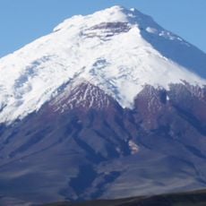
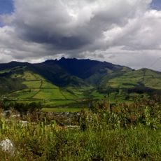
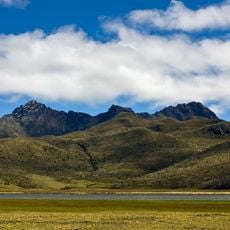
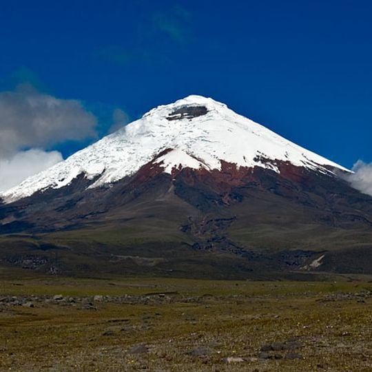
Cotopaxi National Park is a protected reserve in the central Andes of Ecuador, covering land across three provinces and centered on an active glacier-capped volcano. The reserve includes high grasslands, volcanic formations, and two smaller dormant peaks alongside the main cone.
The area became a national park in 1975 to protect the volcanic landscape and highland ecosystems. Inca ruins from the late 15th century lie within the park boundaries, showing earlier human presence.
The name Cotopaxi combines Quechua q'oto (throat) and Aymara phakhsi (moon), giving "smooth neck of the moon". Indigenous communities of the region long regarded the volcano as a sacred place, a bond the park was created to protect. The Puruháes citadel ruins inside the park recall earlier highland settlement.
The park lies about 50 km south of Quito and 31 km from Latacunga, reached by the six-lane Panamericana; driving from Quito takes roughly two hours, from Latacunga forty minutes. A train from Quito reaches the El Boliche station in about an hour and a half. A road climbs to the parking area of the José Ribas Refuge at 4,500 m, and visits are possible year-round, preferably from July to December.
The eastern slopes show large boulders and deposits from the 1877 eruption, still visible today. Limpiopungo lagoon at 3800 meters (about 12,500 feet) hosts Andean birds that gather at the shallow water.
The community of curious travelers
AroundUs brings together thousands of curated places, local tips, and hidden gems, enriched daily by 92,751 contributors worldwide.