Pataz Province, Administrative province in La Libertad Region, Peru
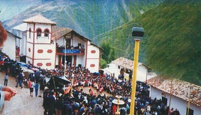
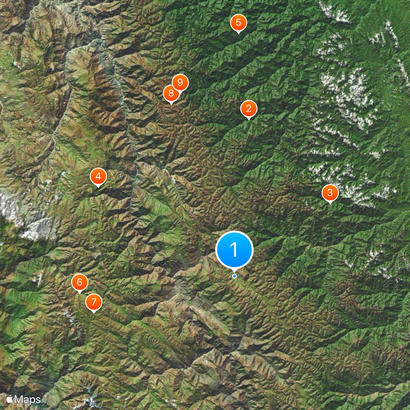
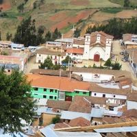
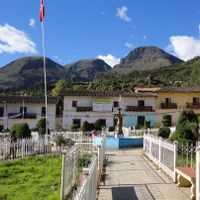
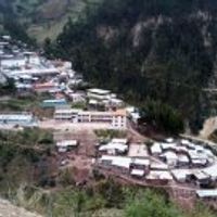
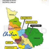
Pataz Province is located in northern Peru within La Libertad Region and consists of thirteen districts with Tayabamba as its capital. The territory spans mountainous terrain and includes several communities shaped by varying elevations and landscape features.
The territory was divided into three Corregimientos during colonial times: Collay in the south, Pataz in the center, and Cajamarquina in the north. This administrative arrangement reflected Spanish control over the different Andean communities in the region.
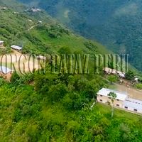
Mining and agriculture shape daily life in the province, with residents continuing practices passed down through families. These activities remain deeply connected to how communities use the land and mountains.
The province is mountainous and travel between districts takes time and planning. Visitors should prepare for varying elevations and remote roads, with the dry season being the better time to explore.
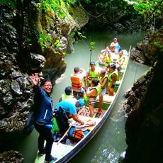
The Gochapita lagoon was created by native inhabitants through a dam construction project and remains central to irrigation today. This engineering feat shows the historical knowledge that local communities possessed about water management in the mountain region.
Location: La Libertad Department
Capital city: Tayabamba
Shares border with: Bolívar Province, Sánchez Carrión Province, Santiago de Chuco Province, Pallasca Province, Pomabamba Province, Sihuas Province, Marañón Province, Mariscal Cáceres Province, Tocache Province
GPS coordinates: -8.27689,-77.29649
Latest update: December 20, 2025 14:48
Río Abiseo National Park
58.9 kmBosques de Shunté y Mishollo Regional Conservation Area
44.8 kmCerro Caparina
60.8 kmGran Pajatén Biosphere Reserve
90.7 kmPE-HH-58/CS-2011
57.9 kmPE-HH-57/CS-2011
54.1 kmCueva de Manachaqui
68.6 kmPampa de Cuyes
71.3 kmNecropolis de Apisuncho
53.4 kmCueva de los Muertos
70.7 kmVilcabamba
70.4 kmPuerta del Monte
71.4 kmEl Mirador
70.5 kmPampa de Laplap
64.9 kmLos Pinchudos
70.9 kmAlto Manachaqui
69.4 kmTambo o Paredones
70.4 kmGran Pajatén
70.2 kmAlto Redondo
33.4 kmGran Pajatén - Cerro Central
72.2 kmLas Papayas
70.5 kmLa Playa
70.1 kmTumac
49.6 kmAchiras
63.9 kmPampa Hermosa
43.3 kmAlto Redondo
33.4 kmChirimachay
68.1 kmLa Paisanita
39.7 kmVisited this place? Tap the stars to rate it and share your experience / photos with the community! Try now! You can cancel it anytime.
Discover hidden gems everywhere you go!
From secret cafés to breathtaking viewpoints, skip the crowded tourist spots and find places that match your style. Our app makes it easy with voice search, smart filtering, route optimization, and insider tips from travelers worldwide. Download now for the complete mobile experience.
A unique approach to discovering new places❞
— Le Figaro
All the places worth exploring❞
— France Info
A tailor-made excursion in just a few clicks❞
— 20 Minutes