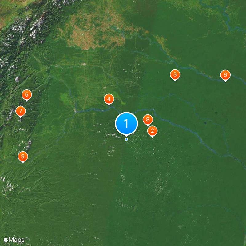
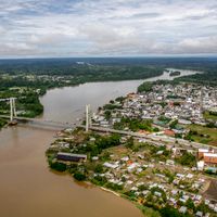
Orellana Province, Province in northeastern Amazon region, Ecuador
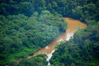
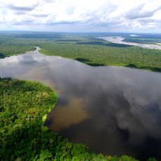
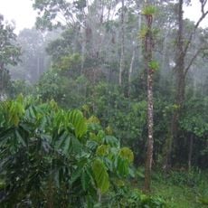
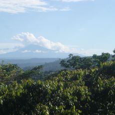
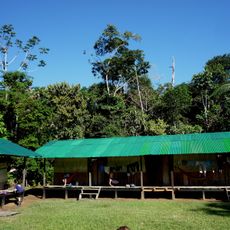
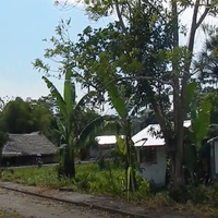
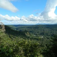
This province stretches across vast rainforests in northeastern Amazonian Ecuador, crossed by rivers and tropical vegetation. Dense canopy, wide waterways, and small settlements shape the landscape of this remote region.
This administrative unit was created in 1998 by splitting from Napo and named after the Spanish explorer. The formation of the province aimed to facilitate governance of the extensive forest areas and the population living there.
Local families speak Spanish alongside Kichwa and live in small communities along the rivers, where wooden houses often stand on stilts. The Waorani preserve centuries-old knowledge of medicinal plants and hunting techniques, which visitors can observe during visits to their villages.
The regional airport sits near the capital and connects the area daily to Quito, while overland trips take around seven hours. Rain gear and sturdy footwear are important, as showers are common and paths can turn muddy.
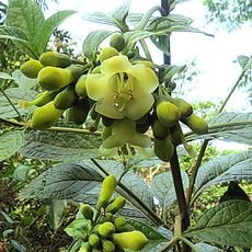
Parts of Yasuní National Park lie within the provincial borders and protect rare species like jaguars and pink river dolphins. Scientists have counted more tree species on a single hectare here than in all of North America combined.
Location: Ecuador
Inception: July 28, 1998
Capital city: Coca
Elevation above the sea: 232 m
Shares border with: Sucumbíos Province, Napo Province, Pastaza Province, Loreto Department
Website: https://gporellana.gob.ec
GPS coordinates: -0.80000,-76.40000
Latest update: December 4, 2025 23:42
Cotopaxi volcano
227.2 km
Las Lajas Sanctuary
222.2 km
Yasuni National Park
33.6 km
Cotopaxi National Park
227.1 km
Cuyabeno Wildlife Reserve
98.8 km
Limoncocha National Biological Reserve
49.8 km
Cayambe
199.3 km
Llanganates National Park
207.4 km
Coca Codo Sinclair Dam
158 km
Cayambe Coca National Park
182.3 km
Antisana volcano
197.1 km
Reventador
161.4 km
Cascada el Pailón del Diablo
221.5 km
Antisana National Park
189.3 km
El Chalupas
216.4 km
Sumaco Napo-Galeras National Park
138 km
Quitsato Sundial
216.7 km
Güeppi
148.7 km
Sumaco
139.6 km
Mojanda
229.9 km
Hacienda Guachalá
214.5 km
Tiputini Biodiversity Station
33.1 km
Our Lady of the Rosary Cathedral, Puyo
193.4 km
Basílica El Quinche
224.6 km
Mulatos River
178.7 km
Brigada 27 Mocoa
217.7 km
Torres de Santa Lucia
219.8 km
Registraduría Nacional Del Estado Civil
227.3 kmVisited this place? Tap the stars to rate it and share your experience / photos with the community! Try now! You can cancel it anytime.
Discover hidden gems everywhere you go!
From secret cafés to breathtaking viewpoints, skip the crowded tourist spots and find places that match your style. Our app makes it easy with voice search, smart filtering, route optimization, and insider tips from travelers worldwide. Download now for the complete mobile experience.
A unique approach to discovering new places❞
— Le Figaro
All the places worth exploring❞
— France Info
A tailor-made excursion in just a few clicks❞
— 20 Minutes