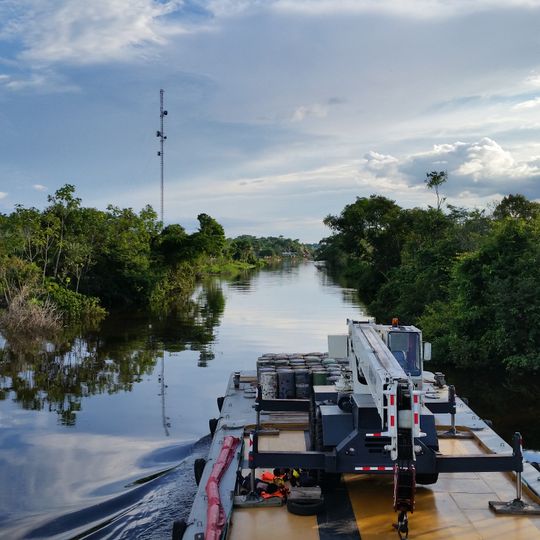
Pacaya-Samiria National Reserve, Nature reserve in Loreto Department, Peru
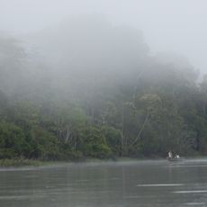
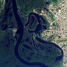
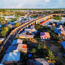
Pacaya-Samiria is a protected area in the Loreto Department of Peru, sitting between two major tributaries of the Amazon and covering flooded forests and countless waterways. The terrain shifts with the seasons as rivers rise and submerge wide stretches, forming lagoons and channels throughout.
The reserve was created by Supreme Decree 016-82-AG on 4 February 1982, expanding an earlier protected zone first set aside in 1940 to breed paiche. On 28 August 1986 it was designated a Ramsar site as South America's largest protected floodplain. The reserve covers 2,080,000 hectares between the Marañón and Ucayali rivers.
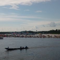
The name Pacaya-Samiria brings together the two main rivers that shape life for communities within this wetland territory. Visitors on guided trips can watch how residents time their fishing and forest use to match the natural rhythm of seasonal floods.
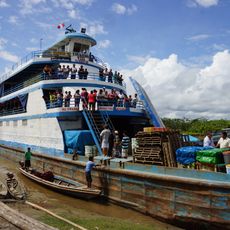
A visit requires a permit and accompaniment by licensed guides who travel from Iquitos by boat along the rivers. The months from May through January offer better conditions for exploring, as water levels and weather make access easier.
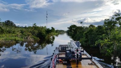
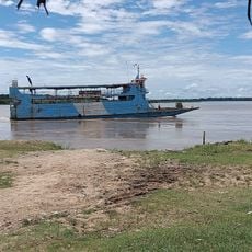
The reserve protects the largest flooded forest in South America, and its 1986 Ramsar listing followed decades of piecemeal protection: a 1940 reserved zone on the Pacaya River created to breed paiche, extended in 1944 to the Samiria system. The tall lattice tower on the left bank and the crane barge with cylindrical tanks are working signs of the river traffic that crosses the reserve.
The community of curious travelers
AroundUs brings together thousands of curated places, local tips, and hidden gems, enriched daily by 93,301 contributors worldwide.