Laprida, human settlement in Argentina
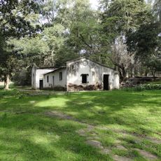
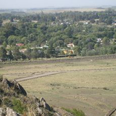
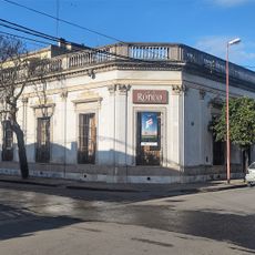
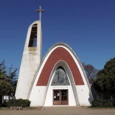
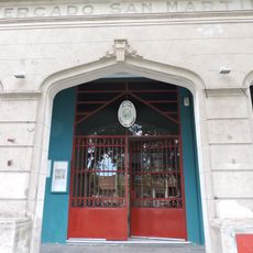
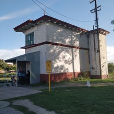
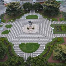
Laprida is a city in Buenos Aires province that serves as the administrative seat of its partido, or district. The town features quiet streets lined with simple houses topped with tile roofs, centered around a main plaza where the municipal building and other public structures are located.
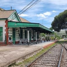
The city was founded in 1889 when the Buenos Aires government approved the land for settlement. The arrival of the railroad in 1903 was a turning point, connecting it to other regions and stimulating economic growth through trade and commerce.
The city is named after Francisco Narciso de Laprida, a politician who played a key role in Argentina's independence declaration in 1816. Residents feel a strong connection to this history and take pride in carrying forward the memory of this important figure through their community.
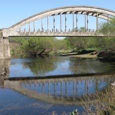
The city is well connected to nearby towns like Olavarria, Azul, and Tandil by paved roads and train. Visitors should expect moderate temperatures year-round, with mild winters and warm summers, so dressing in layers according to the season is advisable.
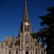
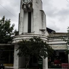
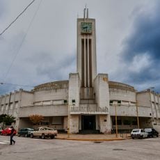
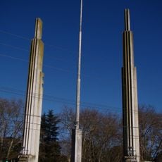
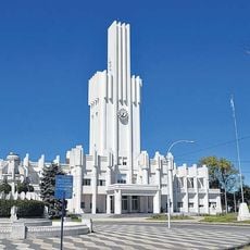
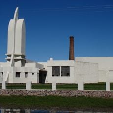
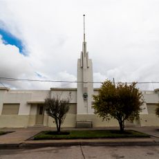
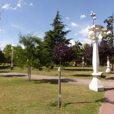
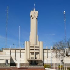
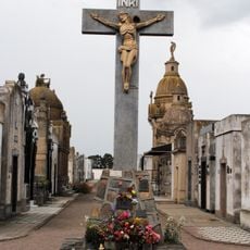
The city's cemetery features a striking 30-meter-tall cross, among the tallest in South America. The cemetery and municipal building were designed by architect Francisco Salamone, whose works visitors can view at the Interpretation Center, making this a notable example of regional architecture.
The community of curious travelers
AroundUs brings together thousands of curated places, local tips, and hidden gems, enriched daily by 60,000 contributors worldwide.