Guaminí, human settlement in Argentina
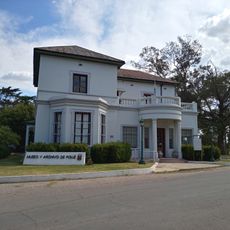
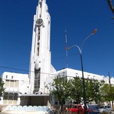
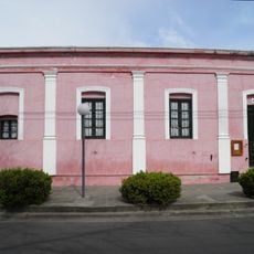
Guaminí is a small town in Buenos Aires Province, founded over a century ago as a trading and farming hub. The settlement features simple streets with older stone and wood buildings, a central plaza with a church, and sits within flat open countryside filled with fields and pastures.
Guaminí grew from a 19th-century military fort built to defend the region from conflict. Traders and farmers gradually settled around it, creating a community that has continued for generations.
Guaminí carries a name rooted in indigenous language, connecting the area to its original inhabitants. The community today maintains strong ties to farming and ranching, which shape how residents spend their days and gather together.
Most visitors walk through the town or drive in small cars, as the streets are quiet and easy to navigate. Small shops and a few restaurants in the center provide basic services and local food.
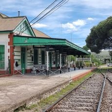
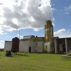
The renowned tango singer Nelly Omar was born in Guaminí and left an important mark on the town's musical history. Additionally, several buildings designed by architect Francisco Salamone, including the train station and slaughterhouse, stand as testament to a distinctive architectural past.
The community of curious travelers
AroundUs brings together thousands of curated places, local tips, and hidden gems, enriched daily by 60,000 contributors worldwide.