
San Martín Partido, Administrative division in Greater Buenos Aires, Argentina.
San Martín Partido is an administrative division northwest of Buenos Aires with residential neighborhoods, factory areas, and green spaces along the Reconquista River. Its twelve districts cover a territory where street markets, schools, and sports facilities organize daily life.
A provincial decree in 1856 created this district as a tribute to General José de San Martín, the liberator of several South American countries. The railway lines built in the late 19th century transformed the area from agricultural land into industrial and residential neighborhoods.
Football fields and clubhouses fill with people on weekends supporting local teams and organizing traditional asado barbecues. In neighborhoods like Villa Ballester, families gather in bars and cafés where conversations about tango and football shape daily life.
Local buses and regional trains connect the different neighborhoods with each other and with central Buenos Aires. The area is best explored on weekday mornings or afternoons, when markets and public facilities are open.
The Peugeot-Citroën car factory has been producing vehicles for the South American market since the 1960s, employing thousands of residents. Along Avenida Márquez, workshops, food processing plants, and small metalworking companies alternate, shaping the industrial face of the region.
Location: Buenos Aires Province
Capital city: General San Martín
Elevation above the sea: 28 m
Website: https://sanmartin.gov.ar
GPS coordinates: -34.56667,-58.51667
Latest update: December 4, 2025 23:43
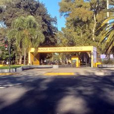
Parque Sarmiento
2.3 km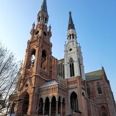
Iglesia de Nuestra Señora de Lourdes
4.4 km
Estadio Libertarios Unidos
3.3 km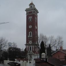
Torre Ader
4.5 km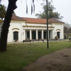
Museo Histórico de Buenos Aires Cornelio de Saavedra
833 m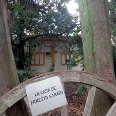
Casa Museo Ernesto Sabato
4.4 km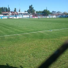
Monumental de Villa Lynch Stadium
3.3 km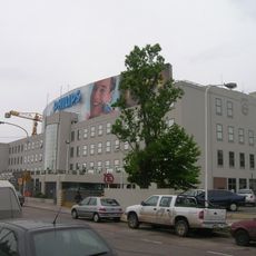
Fábrica Phillips
3.3 km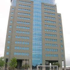
Edificio Panamericana Plaza
3.2 km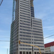
Intecons Tower
3.2 km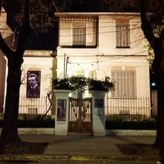
Carnacini House Museum
3.8 km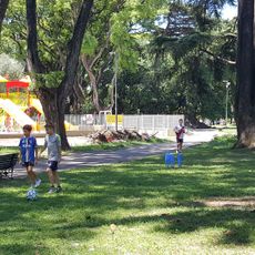
Historical Museum of Buenos Aires Cornelio Saavedra
836 m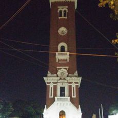
Torre Ader
4.5 km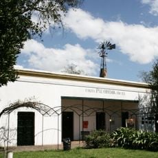
Museo Histórico José Hernández - Chacra Pueyrredón
5.2 km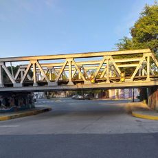
Ruiz Huidobro bridge
3.1 km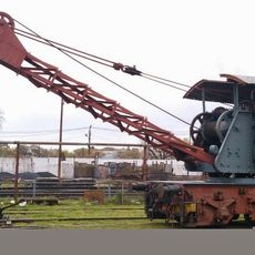
Ferroclub Argentino - CDP Lynch
3.6 km
Lumiton Usina Audiovisual
4.3 km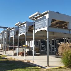
Ceamse Norte III Energia
10.6 km
Casa Mercado
5.6 km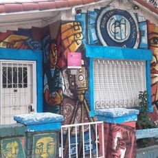
Museo Fotográfico Alejandro Witcomb
3.4 km
Biblioteca Popular Profesor Carlos Serraz
3.1 km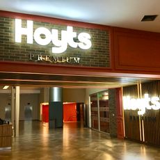
Hoyts Dot
3.6 km
Biblioteca Popular Villa Pueyrredón Norte
1.7 km
Coloso
1 km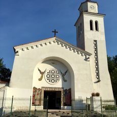
Parroquia San Juan Bautista el Precursor
1.3 km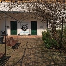
Casa Natal de José Hernández
5.2 km
Chacra de Perdriel
5.2 km
Asociación Vecinal y Biblioteca Popular Villa Pueyrredón sud
2.4 kmReviews
Visited this place? Tap the stars to rate it and share your experience / photos with the community! Try now! You can cancel it anytime.
Discover hidden gems everywhere you go!
From secret cafés to breathtaking viewpoints, skip the crowded tourist spots and find places that match your style. Our app makes it easy with voice search, smart filtering, route optimization, and insider tips from travelers worldwide. Download now for the complete mobile experience.

A unique approach to discovering new places❞
— Le Figaro
All the places worth exploring❞
— France Info
A tailor-made excursion in just a few clicks❞
— 20 Minutes