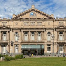
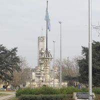
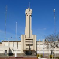
Buenos Aires Province, Administrative province in eastern Argentina
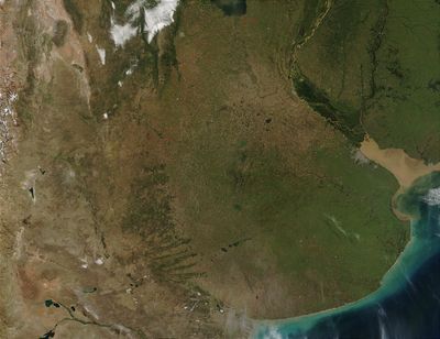
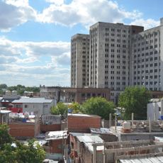
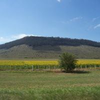
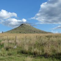
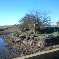
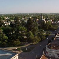
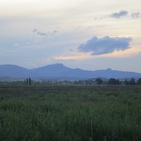
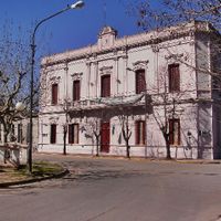
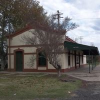
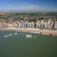
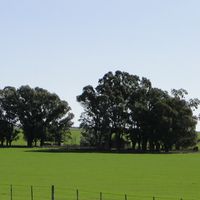
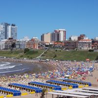
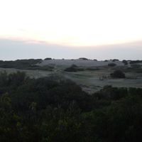
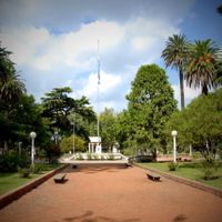
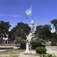
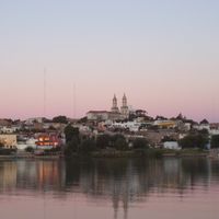
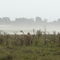
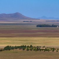
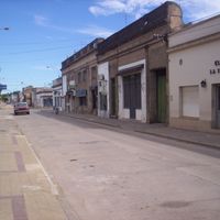
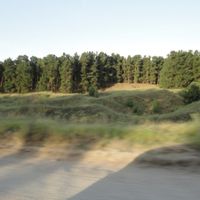
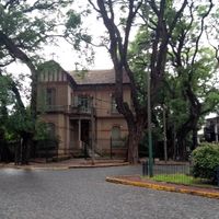
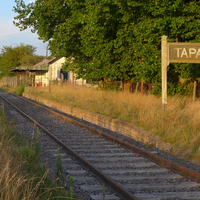
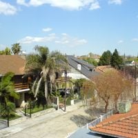
Buenos Aires Province is an administrative territory along the Atlantic coast of eastern Argentina, stretching across wide plains with fertile farmland between the Sierra del Tandil and Sierra de la Ventana mountain ranges. The region includes both long stretches of coastline and expansive grasslands inland, where smaller cities and rural settlements dot the flat landscape.
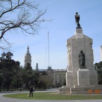
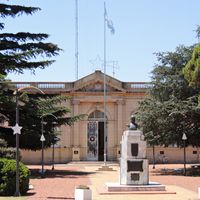
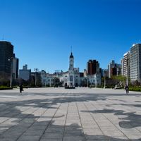
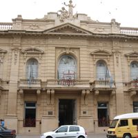
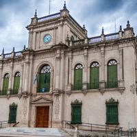
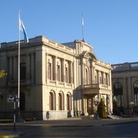
The territory gained its official status in 1862, shortly after different regions joined together as a united state. The capital shifted to La Plata in 1880 when Buenos Aires city became a federal district, requiring a new administration outside the metropolis.
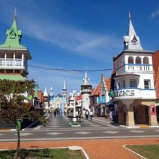
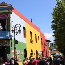
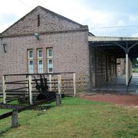
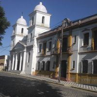
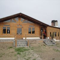
Gauchos still gather at estancias across the pampas, grilling meat over open fires during traditional asados while folk music plays. Rural communities keep these traditions alive through regular festivals and local markets where visitors can find handmade leather goods and regional specialties.
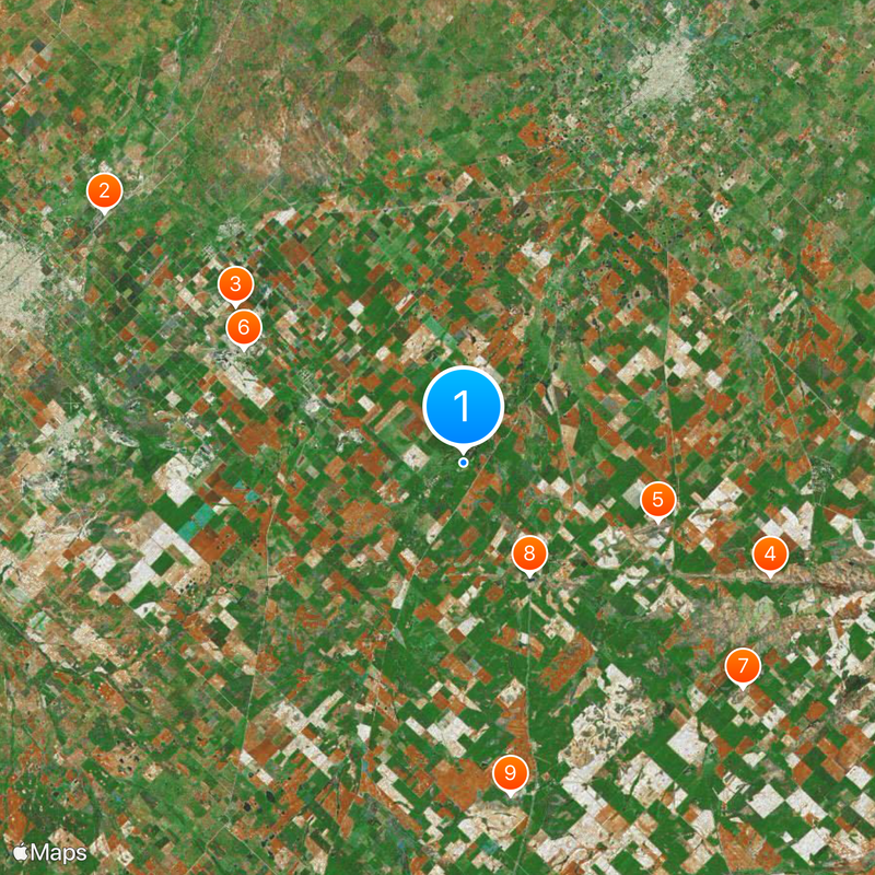
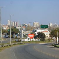
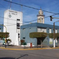
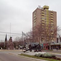
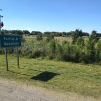
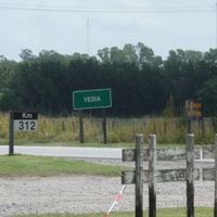
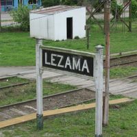
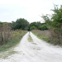
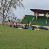
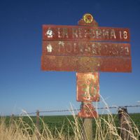
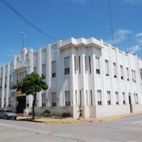
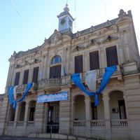
The territory is divided into 135 partidos, each with its own local authorities, which can make navigation and planning slightly more complex for travelers. Those exploring different regions should keep in mind that distances can be significant and local transport options vary greatly between urban centers and rural areas.
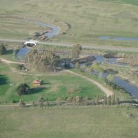
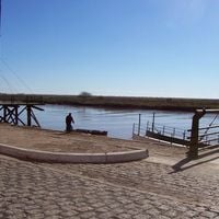
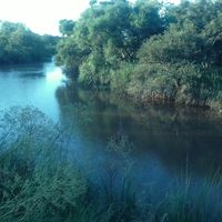
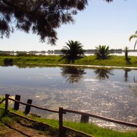
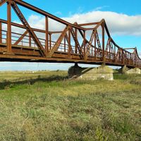
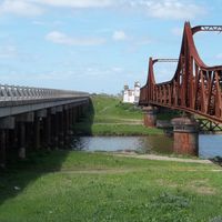
The Salado River winds through the entire area for 580 kilometers, separating different farming zones from one another. This natural waterway not only shapes the landscape but also determines where cattle ranching and crop cultivation thrive best.
The community of curious travelers
AroundUs brings together thousands of curated places, local tips, and hidden gems, enriched daily by 60,000 contributors worldwide.