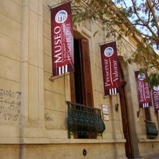
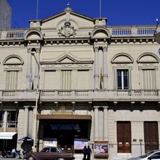
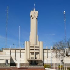
Benito Juárez, Administrative division in Buenos Aires Province, Argentina.
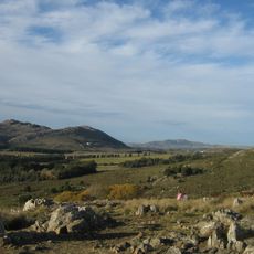
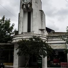
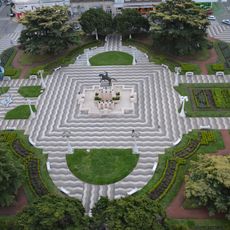
Benito Juárez is an administrative division located in the south-central portion of Buenos Aires Province, spanning a large area of rolling plains and scattered settlements. The landscape features gently undulating terrain suited for farming and pastoral activities throughout the region.
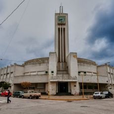
The district was established on October 31, 1867, when Buenos Aires Province created ten new administrative divisions to improve regional governance and land administration. This reorganization allowed better management of territory and resources in the growing province.
The district takes its name from Mexican President Benito Juárez, reflecting strong diplomatic ties between Argentina and Mexico during the 1800s. This naming choice remains a visible reminder of those international connections.
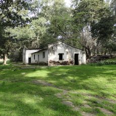
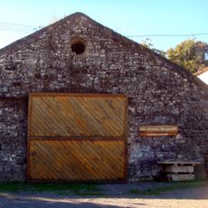
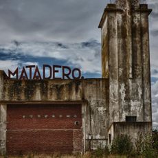
The district is primarily an agricultural area with extensive cattle operations and rural communities spread across the territory. Visitors will find an open landscape best explored with personal transport, as settlements are scattered across the countryside.
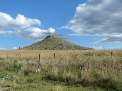
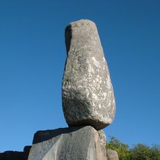
The district contains sections of the Tandilia System, an ancient mountain range with rock formations approximately two billion years old. These rocks preserve fossils from the Cambrian period, revealing the geological story of this South American region.
The community of curious travelers
AroundUs brings together thousands of curated places, local tips, and hidden gems, enriched daily by 60,000 contributors worldwide.