Parque Independencia, Municipal park on elevated hill in Tandil, Argentina
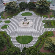
Parque Independencia is a municipal park on a hilltop in Tandil, Argentina, with paved paths that wind through green spaces and planted areas. The paths climb steadily toward the summit, gradually opening up wide views over the city and the surrounding landscape.
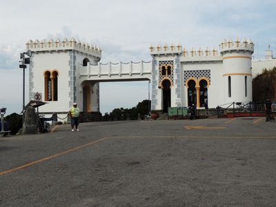
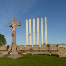
The park opened on April 4, 1923 as part of Tandil's centenary celebration, and the city's Italian community donated a granite archway to mark the occasion. This gift shows the role that immigrant communities played in shaping the city's public spaces during that period.
An outdoor amphitheater in the park hosts an annual Easter performance where local actors present religious stories to gathered audiences. This event draws many Tandil residents and is one of the most recognized moments in the city's public life each year.
The park is reachable on foot, by bicycle, or by car via Avenida Avellaneda and Calle Rondeau, and a bus line also serves the area. The sections near the summit are steeper, so allow more time than you would for a flat city walk.
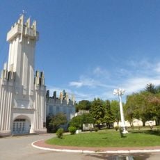
At the summit there is a restaurant built partly into the living rock, so the natural stone walls become part of the interior. Nearby, an equestrian statue of General Martín Rodríguez recalls the region's early leadership before Tandil became a city.
The community of curious travelers
AroundUs brings together thousands of curated places, local tips, and hidden gems, enriched daily by 60,000 contributors worldwide.