Dolores Partido, Administrative district in eastern Buenos Aires Province, Argentina.
Description
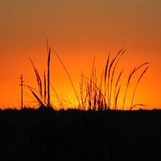
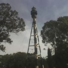
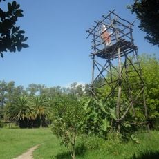
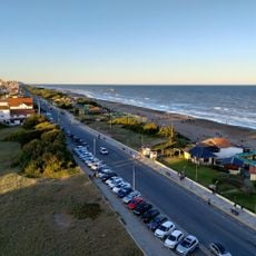
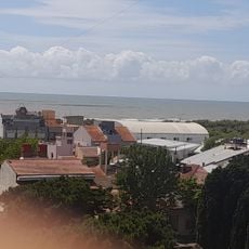
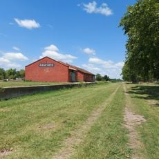
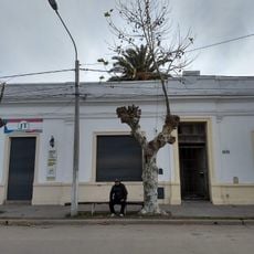
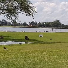
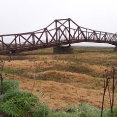
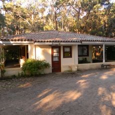
Dolores Partido is an administrative district in eastern Buenos Aires Province covering flat terrain with numerous lakes and marshes throughout the landscape. The area is characterized by wide grasslands traditionally used for cattle raising.
History
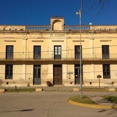
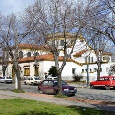
The area emerged as Pago de Dolores in 1817 and became an independent district in 1831. This administrative separation allowed for better management of growing settlements and agricultural activities in the region.
Culture
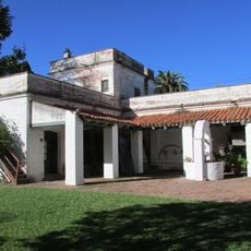
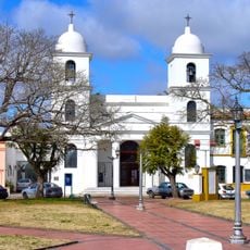
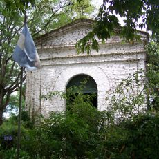
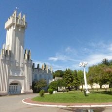
The name refers to the Virgin Mary, reflecting a deep religious tradition in the region. This connection to Marian devotion still shapes local celebrations and the spiritual character of the communities here.
Practical
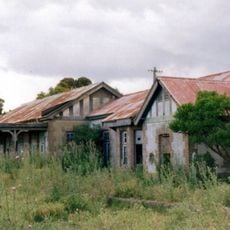
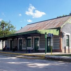
The area is accessible via Autovía 2 and a railway line connecting Buenos Aires to Mar del Plata. The flat terrain and good road connections make it easy to explore, with the warmest months being the best time to visit.
Did you know?
The wetlands and bushlands provide critical refuge for pampas deer, one of the rarest deer species in the region. This notable population makes the area an important location for wildlife conservation in the province.
AroundUs brings together thousands of curated places, local tips, and hidden gems, enriched daily by 60,000 contributors worldwide. Discover all places nearby (Buenos Aires Province).
Mundo Marino
82.5 km
Campos del Tuyú National Park
71.1 km
Querandí Lighthouse
136.9 km
Punta Médanos Lighthouse
108.8 km
San Antonio Lighthouse
80.2 km
Fuerte San Juan Bautista
86.9 km
Chascomús railway and bus station
86.9 km
Balneario Mirasoles
115 km
Juancho train station
106.6 km
Museo Pampeano
88.1 km
Mar de Ajó Norte
98.7 km
Verónica train station
107.7 km
Museo Mar de Ajo
99.8 km
Alfredo E. Múlgura Historical Museum
96.2 km
Chascomús Cathedral
87.8 km
Museo Histórico del Tuyú
90.1 km
Estación Arditi
132.3 km
Museo Tuyú Mapu
90.5 km
Área 60
139.5 km
Old train station Ranchos. ferrocaril Rock
106.1 km
Museo " Victor Abel Gimenez "
126.5 km
Casa Museo Laten K Aike “Donde Viven Las Piedras”
88.8 km
Las Flores
132.7 km
San José de Herrera bridge
107 km
Capilla de los Negros
87.2 km
Museo Y Archivo Histórico Municipal
121.7 km
Municipalidad de Chascomús
87.9 km
Plazoleta de la Municipalidad de Rauch
136.8 kmDiscover hidden gems everywhere you go!
From secret cafés to breathtaking viewpoints, skip the crowded tourist spots and find places that match your style. Our app makes it easy with voice search, smart filtering, route optimization, and insider tips from travelers worldwide. Download now for the complete mobile experience.
A unique approach to discovering new places❞
— Le Figaro
All the places worth exploring❞
— France Info
A tailor-made excursion in just a few clicks❞
— 20 Minutes