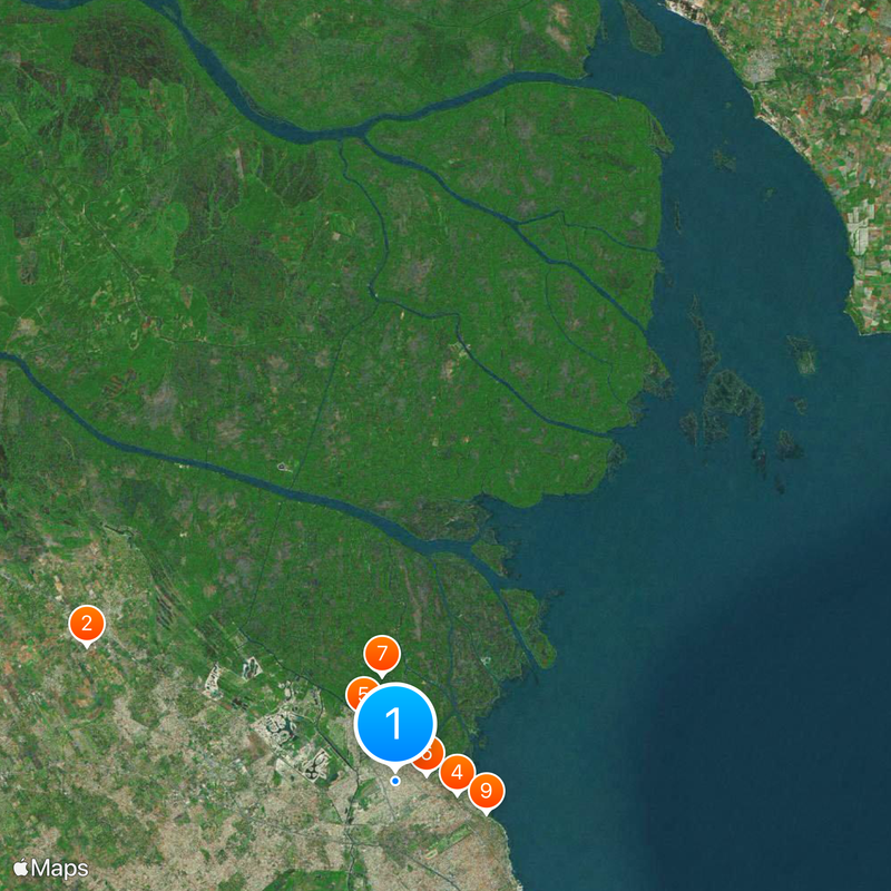
San Fernando Partido, Administrative district in Greater Buenos Aires, Argentina.
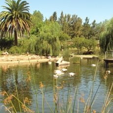
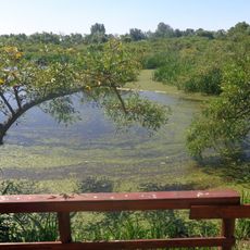
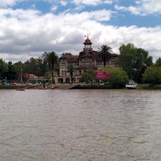
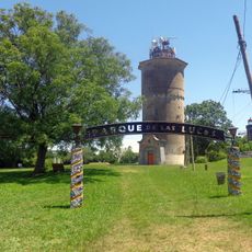
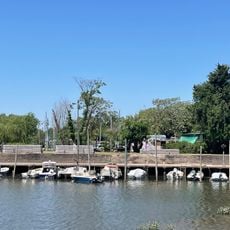
San Fernando Partido is an administrative district north of Buenos Aires that spans roughly 950 square kilometers along the Río de la Plata estuary. The area contains marshlands, riverbanks, and urban settlements linked by railway and road connections.
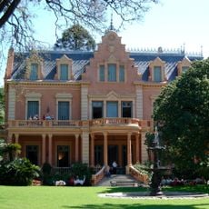
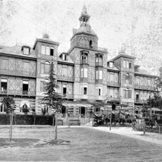
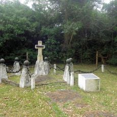
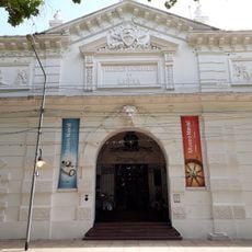
The region was renamed San Fernando Partido in 1821 following the establishment of a parish for this riverine area. This change marked the shift from a frontier landscape into an organized administrative territory.
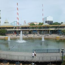
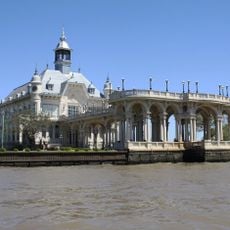
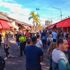
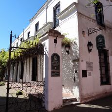
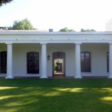
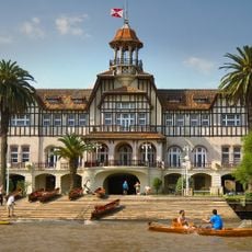
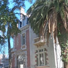
The district remains closely tied to river commerce and port operations, where shipping and waterfront activity shape daily life. Furniture making and farming continue as traditional occupations that define the local economy.
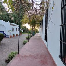
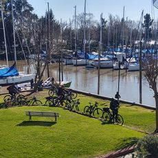
Visitors can reach the area by train or car from Buenos Aires, with the main city roughly half an hour away. Local roads connect the various towns, and the river offers multiple points of access for exploring.
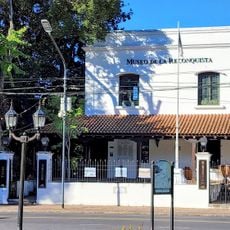
The district encompasses three distinct population centers—San Fernando, Victoria, and Virreyes—that maintain their own character despite their proximity. This spread-out arrangement allows the territory to keep one of the lowest population densities in the greater metropolitan area.
The community of curious travelers
AroundUs brings together thousands of curated places, local tips, and hidden gems, enriched daily by 60,000 contributors worldwide.