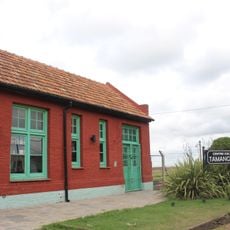
Necochea Partido, Coastal administrative division in Buenos Aires Province, Argentina
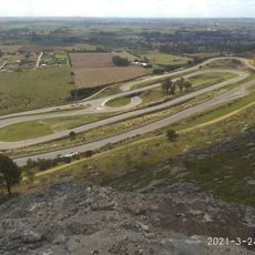
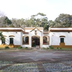
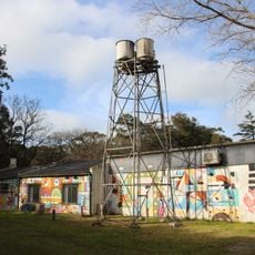
Necochea Partido is an administrative area along the Atlantic coast combining urban settlements and extensive farmland across a large territory. The landscape blends port infrastructure with fertile fields where grain and other crops are grown.
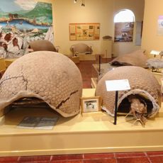
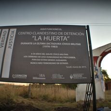
The area was established as an administrative division in 1881, marking the organization of lands previously inhabited by indigenous peoples. This founding integrated the region into Buenos Aires' growing administrative structure.
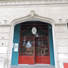
Agriculture shapes daily life here, with local markets displaying the traditions of farming families who have worked the land for generations. People gather in town centers to trade goods and maintain their connection to the region's rural heritage.
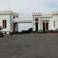
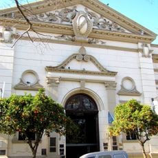
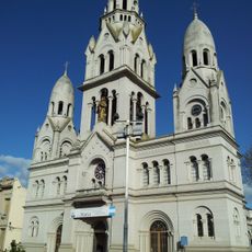
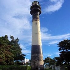
The area is well connected by port facilities for transporting agricultural products to markets worldwide. Visitors should plan time to explore both the rural surroundings and urban town centers.
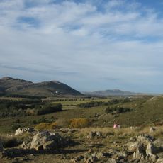
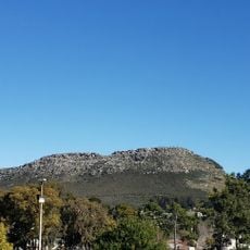
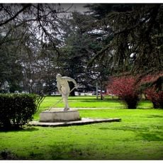
A large forest with over one million trees was deliberately planted to protect coastal dunes from sea erosion. This green barrier now shapes how the landscape looks and offers an unexpected contrast to the flat surroundings.
Location: Buenos Aires Province
Inception: October 12, 1881
Capital city: Necochea
Elevation above the sea: 16 m
Shares border with: Lobería Partido, Tandil Partido, Benito Juárez Partido, Adolfo Gonzales Chaves Partido, San Cayetano
GPS coordinates: -38.55000,-58.73333
Latest update: December 7, 2025 20:20
Piedra Movediza
143.2 km
Parque Independencia
139.2 km
Autódromo Juan Manuel Fangio
84.7 km
El Centinela
138.4 km
Juan Manuel Fangio Museum
88.9 km
Museo de Ciencias Naturales Gesué Pedro Noseda
42.8 km
Hipólito Yrigoyen Bridge
708 m
Reserva natural Sierra del Tigre
135.2 km
Santísimo Sacramento Church, Tandil
140.4 km
Quequén Lighthouse
4.3 km
La Huerta
147.3 km
Capilla Santa Gemma
140.8 km
Cerro El Triunfo
87.3 km
Museo Histórico Regional "Egisto Ratti"
3.5 km
Museo de Ciencias Naturales “Dr. José Squadrone”
3.6 km
Iglesia de Nuestra Señora del Rosario
145.1 km
José A. Mulazzi Museum
136.1 km
The Great Museum Lobería
42.9 km
Estación Hidrobiológica Puerto Quequén
3.8 km
Centro Cultural Tamangueyú
38.7 km
Adolfo Gonzales Chaves municipal market
132.4 km
Adolfo Gonzales Chaves town hall
132.4 km
Biblioteca Popular Andrés Ferreyra
961 m
Escuela Normal Rural
88.7 km
Museo Municipal De Bellas Artes De Tandil (Mumbat)
140.3 km
Iglesia Parroquial Matriz Santísimo Sacramento
140.4 km
Portal del Cementerio de Balcarce
86.7 km
Plaza Libertad
88.8 kmVisited this place? Tap the stars to rate it and share your experience / photos with the community! Try now! You can cancel it anytime.
Discover hidden gems everywhere you go!
From secret cafés to breathtaking viewpoints, skip the crowded tourist spots and find places that match your style. Our app makes it easy with voice search, smart filtering, route optimization, and insider tips from travelers worldwide. Download now for the complete mobile experience.
A unique approach to discovering new places❞
— Le Figaro
All the places worth exploring❞
— France Info
A tailor-made excursion in just a few clicks❞
— 20 Minutes