Lanús Partido, Administrative district in Buenos Aires Province, Argentina
Lanús Partido is an urban administrative area that spreads across the landscape directly south of Buenos Aires city. The Riachuelo River marks its boundary with the capital, creating a clear geographic divide.
The area became an independent administrative entity in 1945, named after Anacarsis Lanús, an early landowner who invested in the region. This separation from neighboring Avellaneda represented a milestone in local organization.
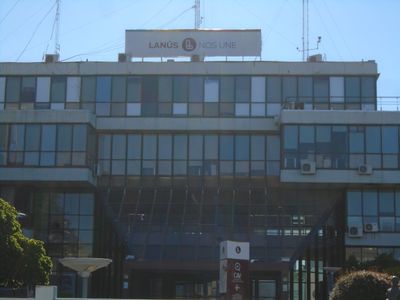
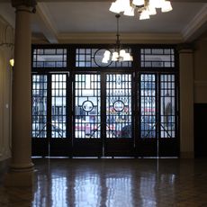
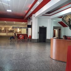
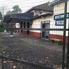
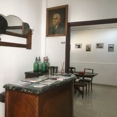
The district maintains several technical schools, public libraries, and the Eva Perón Medical Center, serving the educational and health needs of the community.
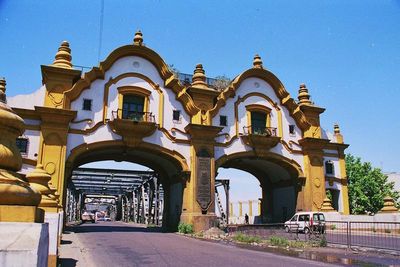
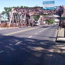
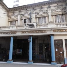
The area connects to Buenos Aires through the Valentín Alsina Bridge, and the Hipólito Yrigoyen street serves as the main commercial route through the district. These pathways help people move around and find shops and services easily.
With approximately 10,000 inhabitants per square kilometer, Lanús Partido represents one of the most densely populated areas in Buenos Aires Province.
The community of curious travelers
AroundUs brings together thousands of curated places, local tips, and hidden gems, enriched daily by 60,000 contributors worldwide.