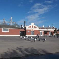
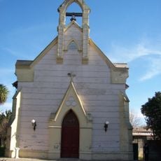
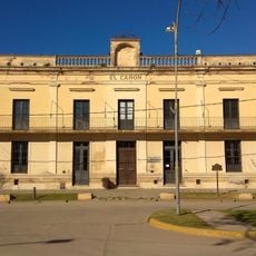
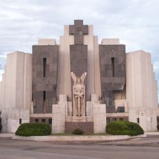
Saladillo Partido, Administrative division in Buenos Aires Province, Argentina.
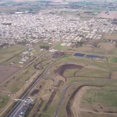
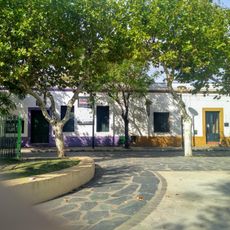
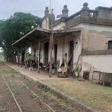
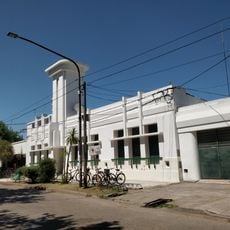
Saladillo Partido is an administrative division in Buenos Aires Province, covering a large territory of farmland and grassland southwest of the capital. The region sits on flat terrain and is crossed by several waterways that shape its landscape.
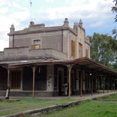
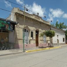
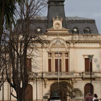
Saladillo Partido was established in 1839 as part of the early settlement expansion in Buenos Aires Province. Over time, it developed as an agricultural and cattle-raising region that remains central to its economy today.
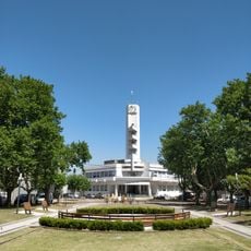
The municipality maintains the Hospital San Carlos since 1911, serving as a principal medical center for the entire surrounding region.
The area is connected by rural roads linking small towns and farms, which can become difficult to travel during rainy periods. Visitors should plan for longer travel times between scattered locations and check local road conditions.
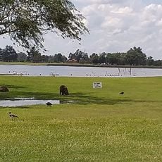
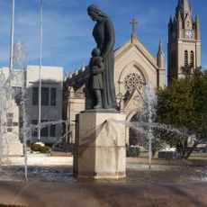
The name comes from the salty streams that run through the territory, which gave the area its distinctive identity. These waterways have shaped the local landscape and land use patterns for centuries.
Location: Buenos Aires Province
Inception: 1839
Capital city: Saladillo
Elevation above the sea: 38 m
Website: https://saladillo.gob.ar
GPS coordinates: -35.63333,-57.76667
Latest update: December 7, 2025 20:25
Autódromo Ciudad de Nueve de Julio
285.8 km
Navarro train station Belgrano
154.3 km
Centro Metropolitano de Diseño
98.5 km
St. Patrick's Church
186.4 km
Chivilcoy Sud train station
217.7 km
Iglesia de Nuestra Señora de Luján
116.9 km
Sociedad Rural 9 de Julio
282 km
Alfredo E. Múlgura Historical Museum
67.3 km
Cementerio municipal de Azul
226.2 km
Museo Histórico Biográfico Manuel Dorrego
156.8 km
Railway Station Zenon Videla Dorna
102 km
Museo Tapalque
218.6 km
Museo Municipal Guardia del Monte
96.1 km
Estación San Eladio - FCGB
162.3 km
Estación La Limpia
263.7 km
Las Flores
127.4 km
Portal del Parque Municipal 'General San Martín'
238.2 km
Club Social de Alberti
237.9 km
Plaza 1810
130.7 km
Municipalidad de Alberti
238 km
Delegación municipal de Cacharí
177.1 km
Cementerio de Azul
226.2 km
Casa de Carlos Calegari
237.5 km
Casa natal del Presidente de la Nación Juan Domingo Perón
130.4 km
Templo Nuestra Sra. del Rosario - Parroquia de San Pedro Apóstol
220.6 km
Mástil de la Plaza General José Arias
237.9 km
Museo Y Biblioteca Provincial Presidente Juan Domingo Perón
130.4 km
Casa en la que vivió el Tte.Gral. Juan Domingo Perón
143.4 kmVisited this place? Tap the stars to rate it and share your experience / photos with the community! Try now! You can cancel it anytime.
Discover hidden gems everywhere you go!
From secret cafés to breathtaking viewpoints, skip the crowded tourist spots and find places that match your style. Our app makes it easy with voice search, smart filtering, route optimization, and insider tips from travelers worldwide. Download now for the complete mobile experience.
A unique approach to discovering new places❞
— Le Figaro
All the places worth exploring❞
— France Info
A tailor-made excursion in just a few clicks❞
— 20 Minutes