Enable Location

We need your location to show you interesting places around you

Discover nearby places

Find interesting locations and hidden gems around you

Precise directions

Get accurate directions and distances to places

Your location is never shared with other users. It's only used when you tap the location button.

Log in to your account

Start exploring — it's free

Trusted by 64,015 travelers worldwide

Continue with Google
Continue with Apple
or

We will send you a code to connect

By continuing, you accept our Terms and Conditions and our Privacy Policy

Check your inbox

We've sent a pincode in your inbox. Please enter the code below.

Discussion Reviews Photo
15.8k Popularity

San Vicente Partido, department in Argentina

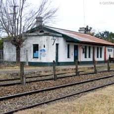
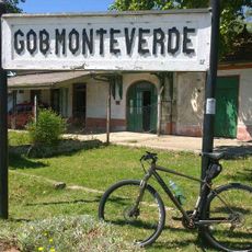
San Vicente Partido is an administrative district in Buenos Aires Province situated approximately 50 kilometers south of the capital. The area spans about 666 square kilometers and is divided into several towns, including the main town of San Vicente, Alejandro Korn, and Domselaar, which serve as local centers.

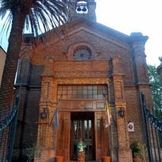
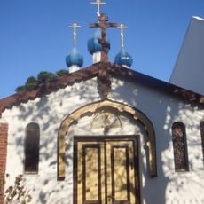
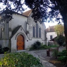
The area was originally called Laguna de la Reduccion and belonged to native peoples. In 1784 it was formally organized as the San Vicente district, named after Saint Vincent, and by the 1800s it had developed into a significant administrative unit of Buenos Aires Province.

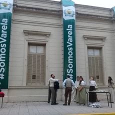
The district takes its name from Saint Vincent and reflects the religious heritage of the area. Local communities gather regularly for festivals and celebrations where traditional food is shared and neighborhood bonds are reinforced through collective activities.

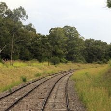
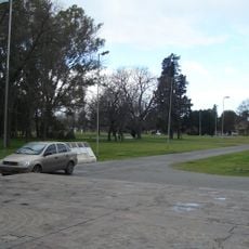
Visitors can reach the area easily by bus or train from Buenos Aires, which run along provincial roads and rail connections. The terrain is flat with good road connections between the different towns, making it straightforward to move around and explore nearby villages.

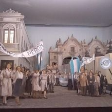
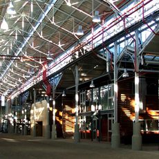
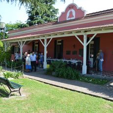
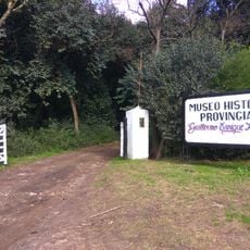
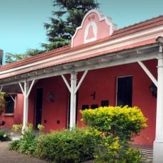
The area is home to Quinta San Vicente, where the resting place of Juan Domingo Peron can be found, a significant leader in Argentine history. Additionally, there is Laguna de San Vicente, a quiet natural area of about 180 hectares once called Laguna del Ojo where swimming and boating are not permitted.

The community of curious travelers

AroundUs brings together thousands of curated places, local tips, and hidden gems, enriched daily by 60,000 contributors worldwide.

Start exploring
Capital city
San Vicente
Elevation above the sea
23 m
GPS coordinates
-35.01667,-58.41667
Latest update
February 19, 2026 23:20
Around this place
Show the full map
Reviews
Share your experience

No review yet

Discussions
Start a discussion...

No discussion yet

« San Vicente Partido - department in Argentina » is provided by Around Us (aroundus.com). Images and texts are derived from Wikimedia project under a Creative Commons license. You are allowed to copy, distribute, and modify copies of this page, under the conditions set by the license, as long as this note is clearly visible.

Discover hidden gems everywhere you go!

From secret cafés to breathtaking viewpoints, skip the crowded tourist spots and find places that match your style. Our app makes it easy with voice search, smart filtering, route optimization, and insider tips from travelers worldwide. Download now for the complete mobile experience.

Around Us App Screenshot

A unique approach to discovering new places

Le Figaro

All the places worth exploring

France Info

A tailor-made excursion in just a few clicks

20 Minutes

Around Us
Travel Guide & Maps
Download

Send to your phone

QR Code
1

Open the camera app on your mobile.

2

Point at the QR code with your camera. A notification will appear.

3

Tap the notification to open the link.