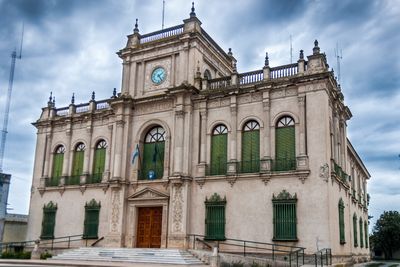
Rivadavia Partido, Administrative division in Buenos Aires Province, Argentina.
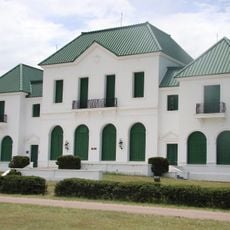
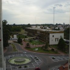
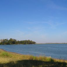
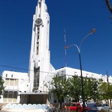
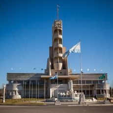
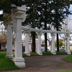
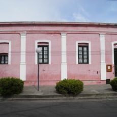
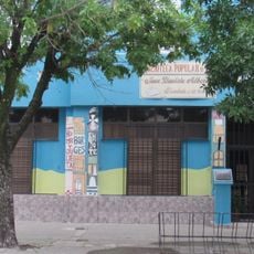
Rivadavia Partido is an administrative division in the northwest of Buenos Aires Province, with América serving as its main administrative center. The territory spans flat terrain well-suited for ranching and includes several smaller towns distributed across its area.
The partition was established in 1910 through provincial legislation as part of a broader regional reorganization. Its development became closely tied to the growth of ranching operations and the changing needs of the settled areas.
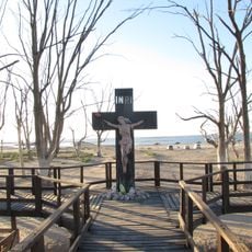
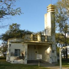
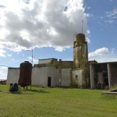
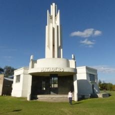
Cattle raising has deep roots here, and the territory became known for wintering livestock during colder months. This agricultural way of life shapes how locals relate to their land and forms part of their regional identity.
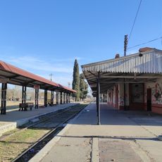
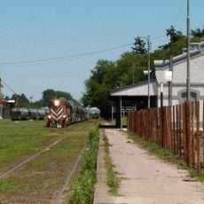
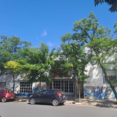
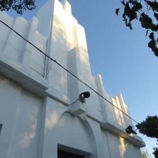
The territory is mainly rural and connected by roads linking its various towns and communities. Visitors should expect larger distances between settlements compared to urban areas.
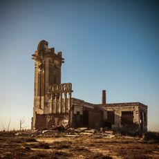
The region received official recognition in 1969 as a center for cattle wintering, reflecting a practice that was already long established. This honor marked the acknowledgment of an economic activity that had defined the area for generations.
GPS coordinates: -35.58132,-63.02374
Latest update: December 10, 2025 15:52
Parque Luro
185.3 km
Laguna Don Tomás
163.9 km
Centro cívico de Santa Rosa
161.6 km
Cerro Azul Formation
152.2 km
Laguna La Arocena
62.3 km
Museo Provincial Casa Evita
191.8 km
General Pico Station
66.4 km
Isla La Sistina
163.1 km
Estacion de Ferrocarril General Pinto
137 km
Museo MUBAL
157.6 km
Adolfo Alsina town hall
179.5 km
Palacio Municipal de Guaminí
168 km
Cruz del Cementerio de Carhué
178 km
Matadero de Villa Epecuén
175.4 km
Cathedral of St. Rose of Lima
162.4 km
Plaza General José de San Martín
77.5 km
Museo Regional Dr. Adolfo Alsina
179.6 km
Biblioteca Popular Municipal José Manuel Estrada
66.9 km
Matadero de Tres Lomas
98 km
Almafuerte Civic Museum
51.4 km
Biblioteca Popular Juan Bautista Alberdi
165.5 km
Delegación municipal de Tres Lomas
98.8 km
Matadero de Pellegrini
76.3 km
Cruz de ingreso a la ciudad de Guaminí
168.9 km
Biblioteca Popular Joaquín V. González
66.7 km
Plaza Leandro N. Alem
98.8 km
Museo Regional Maracó
67 km
Matadero Municipal de Salliquelo
130.7 kmVisited this place? Tap the stars to rate it and share your experience / photos with the community! Try now! You can cancel it anytime.
Discover hidden gems everywhere you go!
From secret cafés to breathtaking viewpoints, skip the crowded tourist spots and find places that match your style. Our app makes it easy with voice search, smart filtering, route optimization, and insider tips from travelers worldwide. Download now for the complete mobile experience.
A unique approach to discovering new places❞
— Le Figaro
All the places worth exploring❞
— France Info
A tailor-made excursion in just a few clicks❞
— 20 Minutes