Florencio Varela Partido

Log in to your account

AroundUs is a community-driven map of interesting places, built by curious explorers like you. It grows with every review, story, and photo you share.
Connect to save your favorite spots, contribute locations, and create personalized routes.
Continue with Google
Continue with Apple
Continue with X
Continue with Facebook
Continue with email
By continuing, you accept our Terms and Conditions and our Privacy Policy
Create an account
Add to collection
Map
Suggest a change
Share

Florencio Varela Partido, Administrative division in Greater Buenos Aires, Argentina

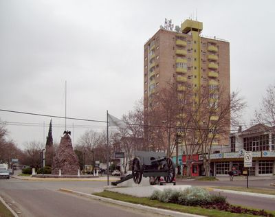
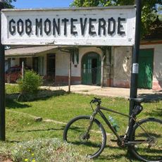
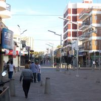
Florencio Varela Partido is an administrative division in the southern zone of Buenos Aires Province that encompasses several residential neighborhoods and urban centers. The area consists of different districts such as Bosques, Estanislao Severo Zeballos, and Villa San Luis, each with its own distinct character.

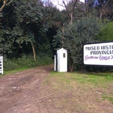
The partido was established in 1891 when Juan de la Cruz Contreras initiated the administrative organization of the territory. This founding marked the beginning of formal governance in this southern region.

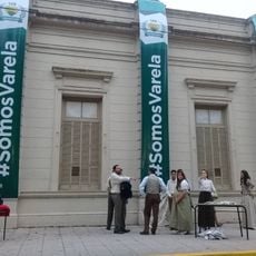
The National University Arturo Jauretche shapes the area through its academic presence and attracts students from across the region. This institution has become a focal point for local communities.

Visitors and residents can access information about services and municipal matters through the website florenciovarela.gov.ar. The postal code B1888 is useful for addressing and navigation within the area.

The area is known for preserving several independent neighborhoods that have developed distinct local identities despite their geographic proximity. This diversity makes the place an interesting example of decentralized urbanization in the Greater Buenos Aires region.

Location: Buenos Aires Province

Inception: 1891

Capital city: Florencio Varela

Elevation above the sea: 23 m

Shares border with: Quilmes Partido, Berazategui Partido, La Plata Partido, San Vicente Partido, Presidente Perón Partido, Almirante Brown Partido

Website: http://varela.gov.ar

GPS coordinates: -34.81667,-58.28333

Latest update: December 14, 2025 19:26

Photos
Reviews

Visited this place? Tap the stars to rate it and share your experience / photos with the community! Try now! You can cancel it anytime.

« Florencio Varela Partido - Administrative division in Greater Buenos Aires, Argentina » is provided by Around Us (aroundus.com). Images and texts are derived from Wikimedia project under a Creative Commons license. You are allowed to copy, distribute, and modify copies of this page, under the conditions set by the license, as long as this note is clearly visible.

Discover hidden gems everywhere you go!

From secret cafés to breathtaking viewpoints, skip the crowded tourist spots and find places that match your style. Our app makes it easy with voice search, smart filtering, route optimization, and insider tips from travelers worldwide. Download now for the complete mobile experience.

Around Us App Screenshot

A unique approach to discovering new places

Le Figaro

All the places worth exploring

France Info

A tailor-made excursion in just a few clicks

20 Minutes