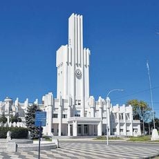
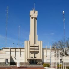
Olavarría Partido, district in Buenos Aires Province in Argentina
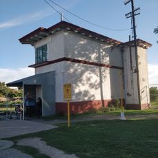
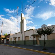
Olavarría Partido is an administrative region in Buenos Aires Province, Argentina, encompassing several towns and communities. The area spreads across flat plains interrupted by gentle hills of the Tandilia mountain system and includes smaller settlements like Sierra Chica, Hinojo, and Sierras Bayas.
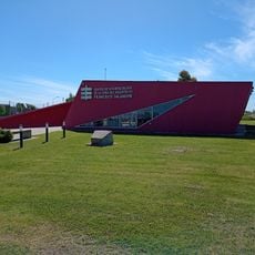
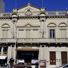
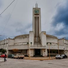
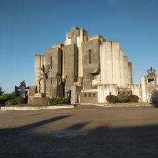
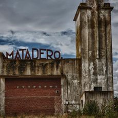
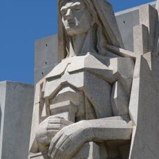
The region grew from agricultural activities and mining over time into a regional center. Today this heritage is reflected in local traditions, while the community has modernized through educational institutions like UNICEN University.
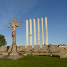
The name Olavarría comes from a historical figure and remains central to local identity. Residents maintain their traditions through regular festivals and gatherings that bring the community together and celebrate their shared heritage.
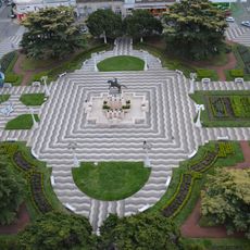
The region is accessible via national roads and invites walks through flat terrain and gentle hills. Visitors should know the area is best explored in dry weather and that towns are small, so take time to soak in the local pace.
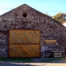
The area was long known for mining and still shows traces of this past at local festivals. A special feature is old racing cars displayed in the region, including a historic 1939 Ford that reflects the motorsport history of this area.
The community of curious travelers
AroundUs brings together thousands of curated places, local tips, and hidden gems, enriched daily by 60,000 contributors worldwide.