Saavedra Partido, Administrative district in Buenos Aires Province, Argentina
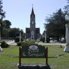
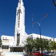
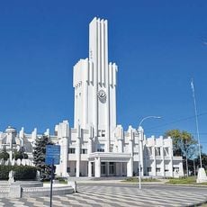
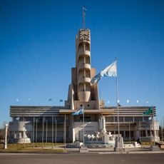
Saavedra Partido is an administrative district in southwestern Buenos Aires Province spanning about 3,500 square kilometers at an elevation of 325 meters. It comprises seven main settlements centered around Pigüé, which serves as the capital and administrative hub.
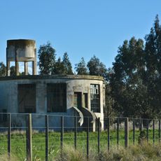
The district was established on September 10, 1891, and named after a prominent figure from Argentina's independence movement. Its development was closely tied to European immigration in the late 1800s, which shaped the agricultural character of the region.
The district is named after a key figure from Argentina's independence era, and this heritage appears in how the towns are laid out and how farming shapes daily life. The communities reflect European settlement patterns that developed over generations.
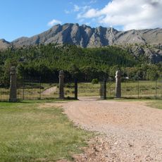
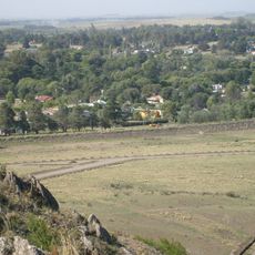
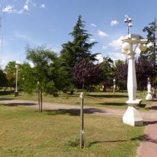
The area is dominated by farmland and open countryside, with Pigüé serving as the main access point for services and facilities. Visitors will find a rural landscape typical of the Argentine plains, with long roads and dispersed settlements that require planning to navigate.
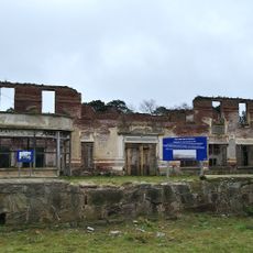
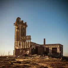
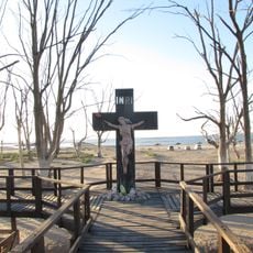
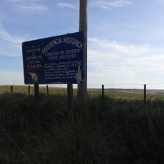
An armed conflict in 1858 fundamentally changed the region's population composition and marked a shift from indigenous to European control. This historical turning point left few visible marks but remains recognized by locals and historians as a pivotal moment in the area's past.
Location: Buenos Aires Province
Capital city: Pigüé
Elevation above the sea: 325 m
Shares border with: Adolfo Alsina Partido, Coronel Suárez Partido, Tornquist Partido, Puan Partido
Website: https://saavedra.gob.ar
GPS coordinates: -37.78333,-62.35000
Latest update: December 8, 2025 13:40
Ernesto Tornquist Provincial Park
40.7 km
Teatro Municipal
104 km
Our Lady of Mercy Cathedral, Bahía Blanca
104.1 km
Cerro Ceferino
62.3 km
Plaza Ernesto Tornquist
37 km
Estacion De Tren Sierra De La Ventana
62.8 km
Museo Fortín Cuatreros
103.5 km
Parroquia Inmaculado Corazón de María
103.4 km
Jardín botánico Pillahuincó
45.6 km
Art Museums Mba-Mac
103.8 km
Museum and Archives of the City of Pigüé
20.6 km
Isla La Sistina
90.7 km
Coleman House (FUNDASUR-CONICET)
103.9 km
Porton De Acceso Ruinas Club Hotel
50.2 km
Puente Blanco
60.2 km
Adolfo Alsina town hall
76.3 km
Matadero de Villa Epecuén
80.8 km
Cruz del Cementerio de Carhué
78.4 km
Palacio Municipal de Coronel Pringles
90.7 km
Palacio Municipal de Guaminí
86.2 km
Museo Regional Dr. Adolfo Alsina
76.3 km
Matadero de Saldungaray
67.4 km
Plaza Independencia
69.3 km
Cruz de ingreso a la ciudad de Guaminí
85.5 km
Cruz del cementerio de Coronel Pringles
92.2 km
Cruz del Cementerio de Tornquist
36.1 km
Cruz del Cementerio de Coronel Pringles
92.2 km
Comandancia del Fuerte Argentino
48.9 kmVisited this place? Tap the stars to rate it and share your experience / photos with the community! Try now! You can cancel it anytime.
Discover hidden gems everywhere you go!
From secret cafés to breathtaking viewpoints, skip the crowded tourist spots and find places that match your style. Our app makes it easy with voice search, smart filtering, route optimization, and insider tips from travelers worldwide. Download now for the complete mobile experience.
A unique approach to discovering new places❞
— Le Figaro
All the places worth exploring❞
— France Info
A tailor-made excursion in just a few clicks❞
— 20 Minutes