General Lavalle Partido
General Lavalle Partido, Administrative district in Buenos Aires Province, Argentina.
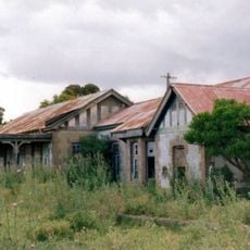
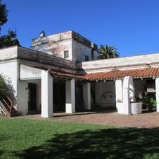
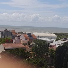
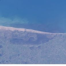
General Lavalle Partido is an administrative district in eastern Buenos Aires Province, covering an extended area crossed by the Ajó River. The district includes the main city of General Lavalle and several surrounding towns, with an agricultural landscape of fields and rural settlements.
The area was originally named Rincón de Ajó and took its current name in 1891 to honor Juan Lavalle, a 19th-century military commander. This renaming marked recognition of his role in regional conflicts and development of that era.
Agricultural fairs remain central to community gatherings, where local farmers showcase their harvest and celebrate rural customs throughout the year.
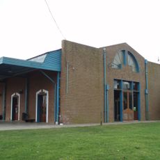
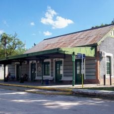
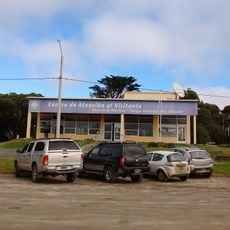
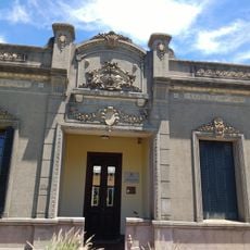
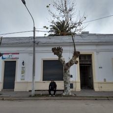
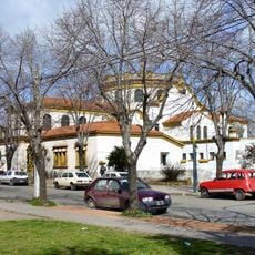
The city of General Lavalle serves as the administrative center with basic services for visitors and residents. Regular bus connections link the district to larger cities, making travel around the region straightforward.
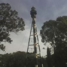
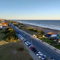
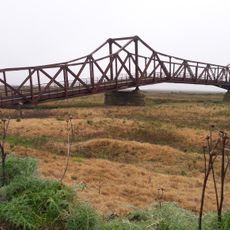
The district contains a deep-water port near Samborombón Bay that historically served as a shipping point for industrial and food products. This port played an important role in the region's economic development.
Location: Buenos Aires Province
Capital city: General Lavalle
Elevation above the sea: 2 m
Website: https://generallavalle.gob.ar
GPS coordinates: -36.41667,-56.95000
Latest update: December 7, 2025 20:42
Mundo Marino
20.1 km
Mar Chiquita
138.1 km
Provincial Museum of Contemporary art MAR
181.1 km
Campos del Tuyú National Park
9.3 km
Querandí Lighthouse
117.5 km
Punta Médanos Lighthouse
57.4 km
San Antonio Lighthouse
20 km
Fuerte San Juan Bautista
132.3 km
Chascomús railway and bus station
131.7 km
Balneario Mirasoles
78.9 km
Juancho train station
82.9 km
Museo Pampeano
134 km
Mar de Ajó Norte
40.5 km
Verónica train station
119.9 km
Municipal Museum of Natural Sciences Pachamama
166.1 km
Museo Mar de Ajo
42.6 km
Centro de Atención Visitante Reserva de Biosfera "Parque Atlántico Mar Chiquito"
153.7 km
Museo Casa Bruzzone
178.9 km
Chascomús Cathedral
133.6 km
Parque Atlántico Mar Chiquito
138.1 km
Museo Histórico del Tuyú
67.6 km
Museo Tuyú Mapu
67.9 km
Museo " Victor Abel Gimenez "
134.5 km
Casa Museo Laten K Aike “Donde Viven Las Piedras”
65.8 km
San José de Herrera bridge
102.6 km
Capilla de los Negros
132.9 km
Museo Y Archivo Histórico Municipal
93 km
Municipalidad de Chascomús
133.8 kmVisited this place? Tap the stars to rate it and share your experience / photos with the community! Try now! You can cancel it anytime.
Discover hidden gems everywhere you go!
From secret cafés to breathtaking viewpoints, skip the crowded tourist spots and find places that match your style. Our app makes it easy with voice search, smart filtering, route optimization, and insider tips from travelers worldwide. Download now for the complete mobile experience.
A unique approach to discovering new places❞
— Le Figaro
All the places worth exploring❞
— France Info
A tailor-made excursion in just a few clicks❞
— 20 Minutes