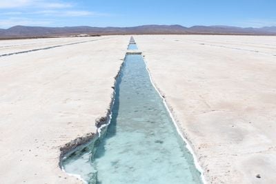
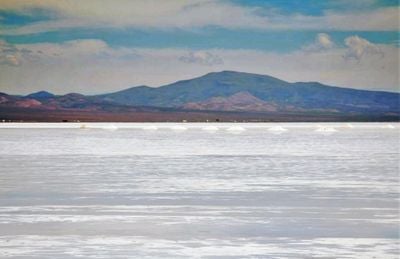
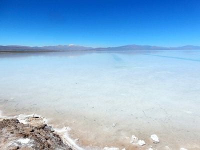
Salinas Grandes, Salt pan in central Argentina.
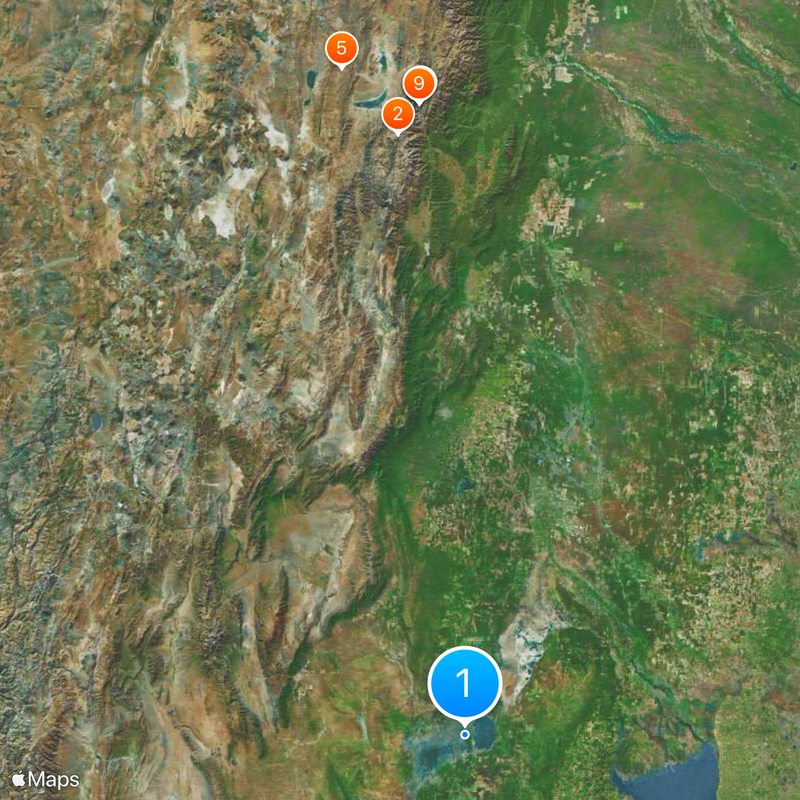
This salt flat extends across 4,700 square miles (7,564 square kilometers) through Córdoba, Catamarca, La Rioja and Santiago del Estero provinces at 558 feet (170 meters) elevation. White salt crusts cover this flat terrain in central Argentina, where geological processes have developed over millions of years. The formation occupies a closed basin between mountain ranges in the northwest region.
The formation developed five to ten million years ago when volcanic activity filled a marine basin that subsequently evaporated, leaving thick salt deposits. Pre-Columbian peoples utilized this resource before Spanish colonization. Scientific studies during the twentieth century documented its geological origins and confirmed volcanic events as the starting point for its creation across multiple modern provinces.
Local communities across four provinces have extracted salt using traditional techniques passed through generations, shaping regional economies and cultural identity. These methods form an essential part of daily life, providing income and resources for households and small businesses. The extraction process continues to define relationships between residents and their natural environment across this arid landscape.
Visitors reach the area via Regional Highway 60, which remains open year-round and connects to neighboring provinces. The best months to visit are May through October when temperatures are more moderate. No significant tourist infrastructure exists on site, so travelers should bring provisions, water and fuel from larger towns. A vehicle is necessary for access, and mobile phone coverage is limited throughout the region.
The surface forms natural polygonal patterns created by evaporation and crystallization that shift with seasonal rainfall. Under certain light conditions, the salt layer reflects the sky like a mirror. These geometric structures sometimes reach several yards in diameter and result from temperature differences between day and night that cause the salt to expand and contract repeatedly over time.
The community of curious travelers
AroundUs brings together thousands of curated places, local tips, and hidden gems, enriched daily by 60,000 contributors worldwide.