Cafayate, Wine region in Salta Province, Argentina
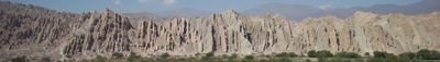
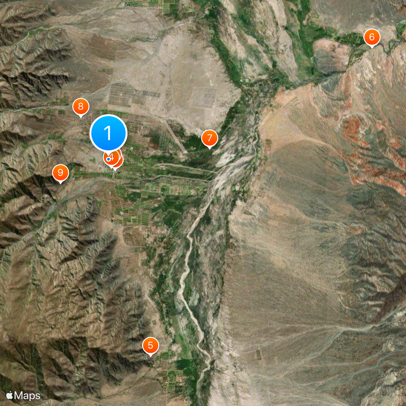
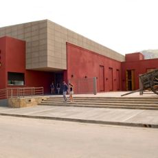
Cafayate is a city and administrative region in northwestern Argentina characterized by valleys, hillsides, and river systems. The area is known for its wine production, with estates spread across varied terrain that includes mountains and agricultural land.
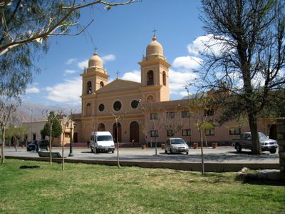
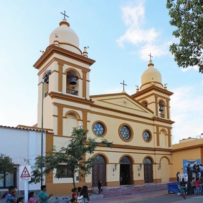
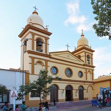
The settlement was founded in 1840 and became the administrative center of its region when the department was formally created in 1863. This establishment marked a turning point in the area's development as an agricultural and wine-producing zone.
The name comes from the Diaguita-Calchaquí indigenous people who have inhabited this region for centuries. This heritage remains visible in local crafts, celebrations, and the way residents connect with the land and its resources.
The area is connected by a main road that passes through valleys and provides access to wine estates and natural attractions. Visitors should plan ahead because the terrain is hilly and exploration requires traveling across varying elevations.
An operational mill from the 18th century built by Jesuit missionaries still demonstrates traditional grain-milling methods. This working facility offers a glimpse into how farming communities once processed their crops using water-powered machinery.
Location: Cafayate Department
Inception: 1840
Elevation above the sea: 1,683 m
Website: http://salnet.com.ar/cafayate/default.htm
GPS coordinates: -26.07000,-65.98000
Latest update: December 6, 2025 21:28
Quebrada de las Conchas
31.4 km
Ruins of Quilmes
44.2 km
Los Cardones National Park
107.1 km
Cabra Corral Reservoir
107.8 km
Estadio Monumental José Fierro
113.6 km
Galán
92.9 km
Quebrada de las Flechas
43.9 km
Parque provincial de los Menhires
100.5 km
Cuevas de Acsibi
81.5 km
Cristo Bendicente
101.7 km
Museo Pachamama
58 km
Parque Sierra San Javier
94.5 km
Monumento to Juan Bautista Alberdi, Tucumán
113.5 km
Parque provincial Aconquija
103.4 km
Vine and Wine Museum
795 m
Parque provincial Cumbres Calchaquíes
59.1 km
Our Lady of Rosary Cathedral, Cafayate
433 m
Isla de los Deseos
100 km
Estancia Jesuítica de La Banda
91.7 km
Archaeological Museum of Cachi
107.3 km
Iglesia San Pedro Nolasco de los Molinos
77 km
Iglesia de San José en Cachi
107.3 km
Areas del Pueblo de Cachi
107.3 km
Museo Arqueológico Pío Pablo Díaz
107.3 km
Areas del Pueblo de San Carlos
20.3 km
Areas del Pueblo de Molinos
77 km
Capilla de San José de Lules
113.7 km
Mirador Monumento Natural Angastaco
45.8 kmReviews
Visited this place? Tap the stars to rate it and share your experience / photos with the community! Try now! You can cancel it anytime.
Discover hidden gems everywhere you go!
From secret cafés to breathtaking viewpoints, skip the crowded tourist spots and find places that match your style. Our app makes it easy with voice search, smart filtering, route optimization, and insider tips from travelers worldwide. Download now for the complete mobile experience.
A unique approach to discovering new places❞
— Le Figaro
All the places worth exploring❞
— France Info
A tailor-made excursion in just a few clicks❞
— 20 Minutes