Rio Grande, Port municipality in Rio Grande do Sul, Brazil.
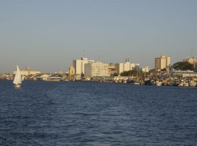
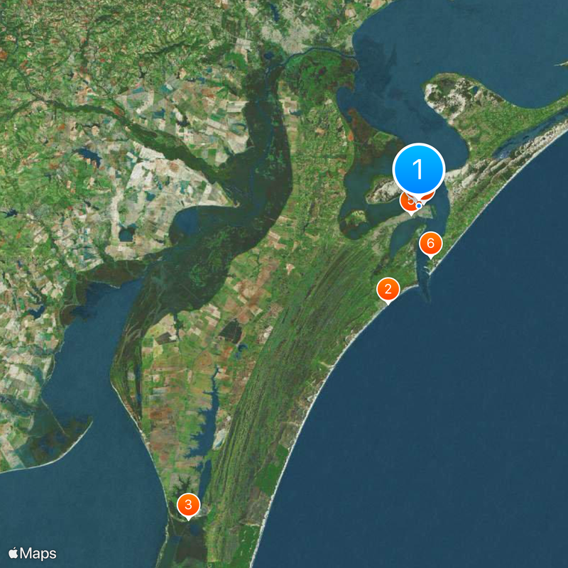
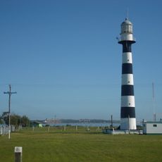
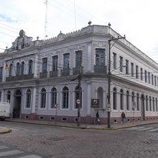
Rio Grande is a port municipality in the state of Rio Grande do Sul in southern Brazil, extending along a flat peninsula where a wide channel links the Lagoa dos Patos to the Atlantic. The city is arranged around several docks and terminals, with broad streets running toward residential and commercial districts further inland.
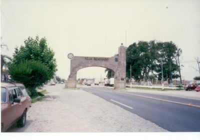
Portuguese settlers built a military fort in 1737 to control the strategic channel and secure claims against Spanish rivals to the south. The settlement grew as a trading post and later developed into a major harbor for agricultural exports from the interior.
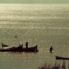
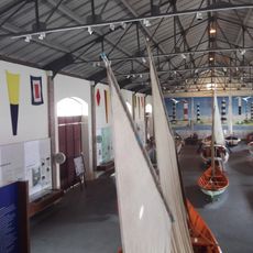
The name refers to the great river, though it is technically a channel connecting a lagoon to the sea. Fishing boats tie up at the docks every day, where families have made their living from the catch for generations and sell it fresh at local markets.
The city is accessible year-round, with quieter autumn and winter months drawing fewer visitors. Port areas are mostly open to the public, though some terminals have restrictions around loading zones.
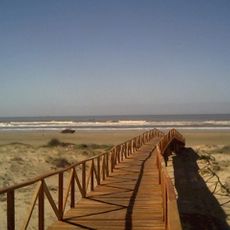
A road bridge connects the mainland to Praia do Cassino, a beach stretching for many kilometers along the coast. This access makes the sands a popular day trip destination despite the distance.
Location: Rio Grande do Sul
Inception: 1737
Elevation above the sea: 12 m
Shares border with: Capão do Leão, Santa Vitória do Palmar, Arroio Grande, Pelotas
Website: http://riogrande.rs.gov.br
GPS coordinates: -32.03500,-52.09889
Latest update: December 4, 2025 23:03
Praia do Cassino
18.3 km
Taim Ecological Station
69.9 km
Museu da Baronesa
37.4 km
Baron of Mauá International Bridge
134.3 km
Saint Peter Cathedral
426 m
Catedral São Francisco de Paula
37.7 km
Theatro Sete de Abril
37.4 km
Estádio Aldo Dapuzzo
2 km
Barra Rio Grande Lighthouse
9.4 km
Museu Antártico
1.1 km
Museu de Arte Leopoldo Gotuzzo
37.4 km
Palácio Farroupilha
115.4 km
Museu Náutico
942 m
Antiga Residência do Senador Augusto Assumpção
37.2 km
Phare de Ponta Alegre
75.1 km
Antiga Escola de Agronomia Eliseu Maciel
37.4 km
Antigo Quartel General 6º G.A.C.
546 m
Castelo Simões Lopes
37.6 km
Antiga Enfermaria Militar
134.6 km
Casa João Simões Lopes Neto - Instituto J. Simões Lopes Neto
37.1 km
Centro Histórico de São José do Norte
5.7 km
Hotel Paris
895 m
Caixa D'Água localizada na Praça Piratinino de Almeida, antigo Largo da Caridade
38 km
Obelisco Republicano Pelotas
36.9 km
Canoa de Pranchão, de nome Tradição
897 m
Banco Pelotense
37.5 km
Quilombo Vó Elvira
60.9 km
Capela da Ordem Terceira de São Francisco
428 mVisited this place? Tap the stars to rate it and share your experience / photos with the community! Try now! You can cancel it anytime.
Discover hidden gems everywhere you go!
From secret cafés to breathtaking viewpoints, skip the crowded tourist spots and find places that match your style. Our app makes it easy with voice search, smart filtering, route optimization, and insider tips from travelers worldwide. Download now for the complete mobile experience.
A unique approach to discovering new places❞
— Le Figaro
All the places worth exploring❞
— France Info
A tailor-made excursion in just a few clicks❞
— 20 Minutes