Enable Location

We need your location to show you interesting places around you

Discover nearby places

Find interesting locations and hidden gems around you

Precise directions

Get accurate directions and distances to places

Your location is never shared with other users. It's only used when you tap the location button.

Canguçu

Log in to your account

Start exploring — it's free

Trusted by 62,033 travelers worldwide

Continue with Google
Continue with Apple
or

We will send you a code to connect

By continuing, you accept our Terms and Conditions and our Privacy Policy

Check your inbox

We've sent a pincode in your inbox. Please enter the code below.

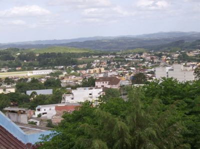
Canguçu, Administrative division in Rio Grande do Sul, Brazil.

Canguçu is a municipality in Rio Grande do Sul in southern Brazil, located in a hilly region with varied landscapes. The area is characterized by its sprawling territory and its role as an administrative and social center for surrounding communities.

The area was formally established as a municipality on June 27, 1857, beginning organized local governance in the region. This founding coincided with the period of European immigration and settlement across southern Brazil.

East Pomeranian, a German dialect, holds official status alongside Portuguese, reflecting the region's strong links to European settlement. The language remains present in daily conversations and community gatherings throughout the area.

The area spans varied terrain and elevation, creating diverse conditions across the municipality. Visitors should be prepared for a spread-out region where movement between areas may require planning and local guidance.

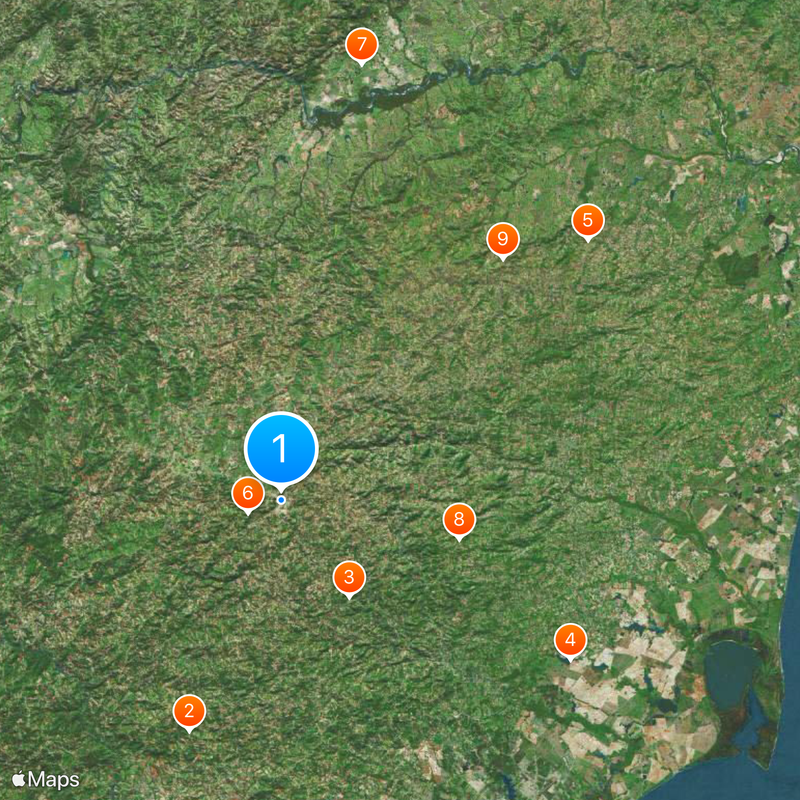
The municipality borders eight different neighboring communities, creating an intricate web of administrative connections in the region. This central location makes it a junction point within the broader system of southern Brazil.

The community of curious travelers

AroundUs brings together thousands of curated places, local tips, and hidden gems, enriched daily by 60,000 contributors worldwide.

Start exploring
Inception
June 27, 1857
Elevation above the sea
386 m
Shares border with
Piratini, Amaral Ferrador, Cerrito, Cristal, Encruzilhada do Sul, Morro Redondo, Pelotas, São Lourenço do Sul
GPS coordinates
-31.39500,-52.67583
Latest update
December 20, 2025 14:48
« Canguçu - Administrative division in Rio Grande do Sul, Brazil » is provided by Around Us (aroundus.com). Images and texts are derived from Wikimedia project under a Creative Commons license. You are allowed to copy, distribute, and modify copies of this page, under the conditions set by the license, as long as this note is clearly visible.

Discover hidden gems everywhere you go!

From secret cafés to breathtaking viewpoints, skip the crowded tourist spots and find places that match your style. Our app makes it easy with voice search, smart filtering, route optimization, and insider tips from travelers worldwide. Download now for the complete mobile experience.

Around Us App Screenshot

A unique approach to discovering new places

Le Figaro

All the places worth exploring

France Info

A tailor-made excursion in just a few clicks

20 Minutes

Around Us
Travel Guide & Maps
Download

Send to your phone

QR Code
1

Open the camera app on your mobile.

2

Point at the QR code with your camera. A notification will appear.

3

Tap the notification to open the link.