Estrela, Municipality in Rio Grande do Sul, Brazil
Estrela is a municipality in southern Rio Grande do Sul that functions as a local administrative center. The town has public buildings, schools, and services that support daily life, with the surrounding area devoted mainly to agriculture and small settlements.
The municipality was officially established on May 20, 1876, beginning organized local governance in the region. German and Italian immigration that preceded this date had shaped the area's settlement patterns and growth.
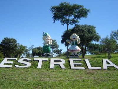
The people here show strong roots in German, Italian, and Portuguese traditions through their celebrations and daily interactions. Local food and community gatherings reflect how these different heritages continue to shape how residents connect with one another.
The best way to explore the town is on foot, walking through the center and nearby residential areas. Visiting during business hours in the morning works well, as many places close in the afternoon.
The area is driven by small-scale farmers who manage diverse crops and livestock, playing a key role in the local economy. This agricultural tradition is so deeply rooted that it shapes the daily rhythm and identity of the community.
The community of curious travelers
AroundUs brings together thousands of curated places, local tips, and hidden gems, enriched daily by 60,000 contributors worldwide.