Lajeado, Municipality in Rio Grande do Sul, Brazil.
Lajeado is a city in the Taquari River valley in southern Brazil, situated on hilly terrain. The city is structured through various neighborhoods marked by residential blocks, small shops, and public gathering spaces.
The city was founded in 1891 when local residents separated from the neighboring municipality of Estrela. This independence allowed the settlement to develop its own administration and growth path.
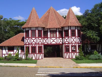
You will hear German and Italian spoken alongside Portuguese in daily life, languages brought by European settlers generations ago. This linguistic blend shapes how people interact and greet one another throughout the city.
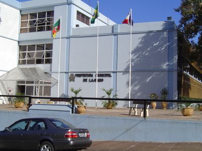
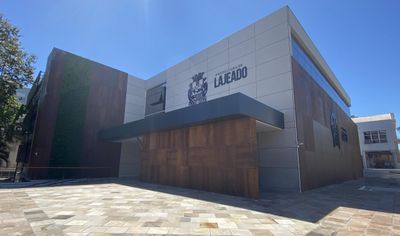
Visitors will find public services and administrative buildings downtown where you can get oriented. The city is easy to navigate, with basic amenities and local facilities spread across different neighborhoods.
The city serves as a major distribution point for food and fuel across the region. This economic role makes it a hub for trade and logistics throughout the state.
The community of curious travelers
AroundUs brings together thousands of curated places, local tips, and hidden gems, enriched daily by 60,000 contributors worldwide.