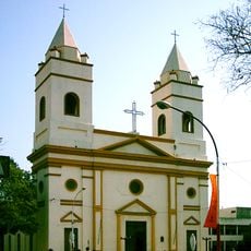
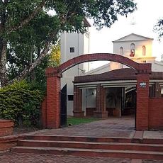
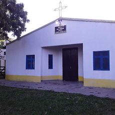
Isla del Cerrito, River island at Paraguay-Paraná confluence, Chaco, Argentina.
Isla del Cerrito is a river island located where the Paraguay and Paraná Rivers meet in the Chaco region of Argentina. The terrain features forests, grasslands, and wetland areas typical of major river confluences in South America.
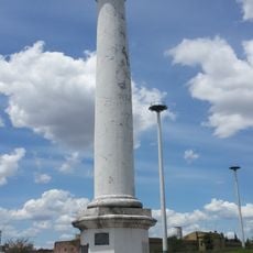
Brazil established a military base on the island during the War of the Triple Alliance from 1864 to 1870. In later decades, a medical center operated from 1924 until 1960, serving health needs for surrounding populations.
The island is home to communities that depend on fishing and cattle ranching for their livelihoods, shaping how settlements are organized along the waterways. These everyday practices reflect how local people have learned to live with the rhythms of two major rivers.
The San Pedro bridge is the main vehicle route connecting the island to surrounding areas through rural roads. The best time to visit is during the drier months when water levels are lower and roads are more easily passable.
A permanent waterway called Riacho Atajito divides the island, creating separate ecological zones with their own natural characteristics. This channel connects different sections of the island and influences how vegetation and wildlife are distributed across its territory.
Location: Bermejo Department
Elevation above the sea: 52 m
GPS coordinates: -27.28333,-58.61667
Latest update: December 8, 2025 13:41
General Belgrano Bridge
31.8 km
Humaitá Fortress
26.1 km
Puente Pexoa
32.7 km
Teatro Juan de Vera
29.6 km
Instituto de Cardiología de Corrientes
30.1 km
Casa de Gobierno de Corrientes
29.8 km
Escuela Normal José Manuel Estrada
28.3 km
Conjunto Urbano Plaza 25 de Mayo
29.8 km
Convento de San Francisco
29.4 km
Chaco Province Government House
41 km
Casa de las Culturas
40.9 km
St. Ferdinand the King Cathedral, Resistencia
41.2 km
San Cayetano (Corrientes)
32.9 km
Columna conmemorativa de la fundación de Corrientes
28.8 km
San Buenaventura del Monte Alto
34.5 km
Ingenio Primer Correntino
16.6 km
Parroquia Santa Ana de los Guácaras
19.6 km
Casa del Gobernador Manuel Lagraña
29.9 km
Ex Ingenio Azucarero Las Palmas
27.2 km
Cabeza
41.3 km
Castigo
41.3 km
Fernando
41.1 km
Apoyo esencial
41 km
La loba
41 km
General San Martín
41.1 km
Museo de Medios de Comunicación Raúl Berneri
40.7 km
Capilla de Santa Ana
19.6 km
Museo De La Memoria
40.9 kmVisited this place? Tap the stars to rate it and share your experience / photos with the community! Try now! You can cancel it anytime.
Discover hidden gems everywhere you go!
From secret cafés to breathtaking viewpoints, skip the crowded tourist spots and find places that match your style. Our app makes it easy with voice search, smart filtering, route optimization, and insider tips from travelers worldwide. Download now for the complete mobile experience.
A unique approach to discovering new places❞
— Le Figaro
All the places worth exploring❞
— France Info
A tailor-made excursion in just a few clicks❞
— 20 Minutes