Carazinho, Agricultural municipality in Rio Grande do Sul, Brazil.
Carazinho is a municipality in northwestern Rio Grande do Sul in southern Brazil. The area consists of rural landscape with extensive farmland spread across gently rolling terrain.
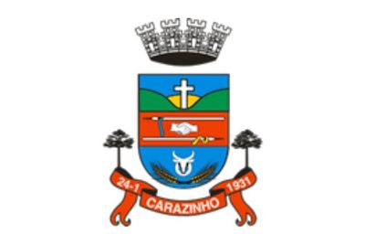
The area began as a small village that became an official municipality in 1931. This change marked the start of organized growth and settlement development in the region.
The town has a strong German-speaking population that keeps their traditions alive through local festivals and customs. Visitors can see these cultural influences in how people gather and celebrate their heritage.
Two main highways connect the town to Porto Alegre and other nearby cities in the region. Visitors will find straightforward access and can easily explore surrounding areas from here.
Farming focuses on soybeans, corn, and wheat that contribute to Brazil's grain production. These crops play an important role in the economic stability of the region.
The community of curious travelers
AroundUs brings together thousands of curated places, local tips, and hidden gems, enriched daily by 60,000 contributors worldwide.