Santa Cruz do Sul, Tobacco manufacturing center in Rio Grande do Sul, Brazil.
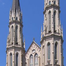
Santa Cruz do Sul is a medium-sized town in the central part of Rio Grande do Sul, roughly 150 km west of Porto Alegre. The surroundings consist of gentle hills where broad tobacco fields grow, interrupted by industrial plants and residential neighborhoods.
German colonists founded the settlement in 1849, and it was officially recognized as a municipality in 1877. During the 20th century, the place shifted from a farming village to a hub for the tobacco industry.
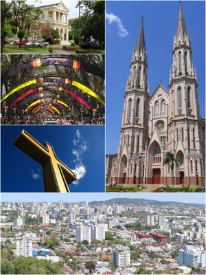
German-speaking ancestors left their mark in half-timbered houses, bakeries with European pastries, and taverns where menus still show German names. Walking through the center, you notice bilingual signs and churches that echo Central European styles.
A regional airport sits a few kilometers outside the center and connects the town to other cities in southern Brazil. Long-distance buses run regularly to Porto Alegre and smaller neighboring towns.
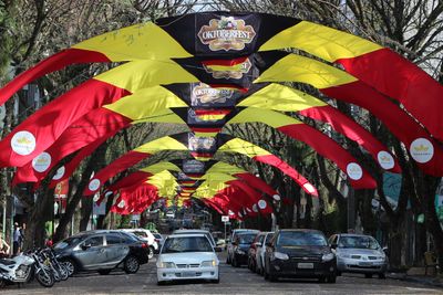
The municipality organizes one of the largest Oktoberfest events outside Germany every year, with more than half a million visitors over two weeks. During the festival, you find traditional brass bands, fried pastries, and local beer in the tents.
The community of curious travelers
AroundUs brings together thousands of curated places, local tips, and hidden gems, enriched daily by 60,000 contributors worldwide.