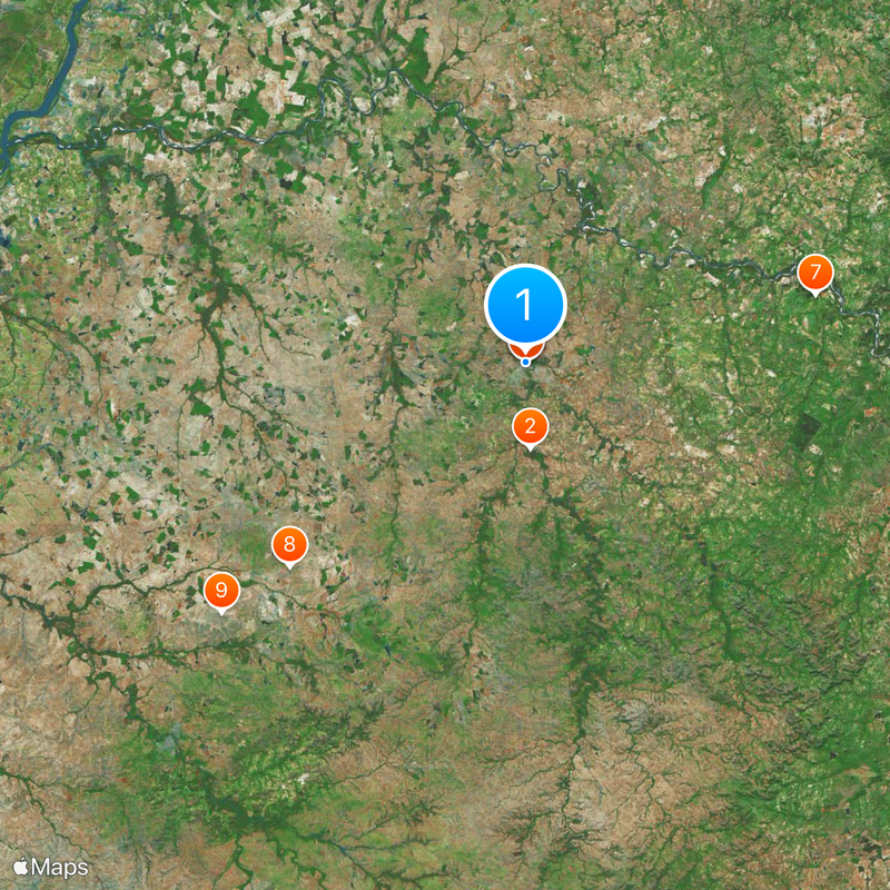
Alegrete, Municipality in Rio Grande do Sul, Brazil
Alegrete is a municipality in Rio Grande do Sul spanning roughly 7,800 square kilometers, making it the largest in the state. The territory includes urban areas, agricultural land, and the protected Ibirapuitã Biological Reserve.
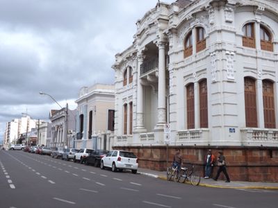
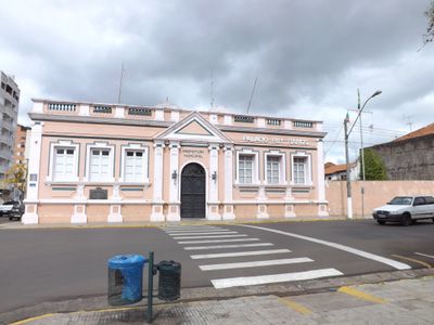
The municipality was established in 1816 and received official town status in 1831. It then developed into a regional administrative and economic center over the following decades.
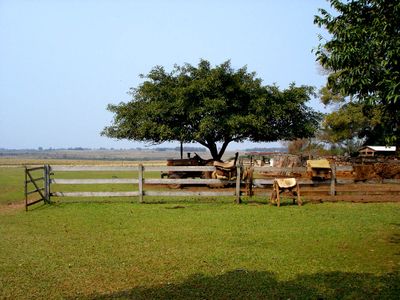
The local identity is closely tied to gaucho heritage, visible in traditional horsemanship festivals and regional clothing worn during celebrations. Visitors can experience this connection to ranching culture at community events throughout the year.
Gaudêncio Machado Ramos Airport provides air access to the region, while road connections link the area to surrounding communities. Given the large territorial expanse, having a vehicle helps for exploring beyond the main urban center.
The territory ranks among Brazil's largest municipalities while maintaining sparse settlement outside the urban core, with vast natural areas undisturbed. This expanse preserves extensive agricultural zones and protected ecosystems that many travelers overlook.
Location: Rio Grande do Sul
Inception: October 25, 1831
Elevation above the sea: 107 m
Shares border with: Itaqui, Quaraí, Manoel Viana, Rosário do Sul, Uruguaiana, Cacequi, São Francisco de Assis, São Vicente do Sul
Website: http://alegrete.rs.gov.br
GPS coordinates: -29.78389,-55.79111
Latest update: December 6, 2025 21:27
Mission Nuestra Señora de los Tres Reyes de Yapeyú
105 km
Paso de los Libres – Uruguaiana International Bridge
125.9 km
Natural Protected Area Valle del Lunarejo
147.7 km
Integration Bridge
132.4 km
Puente Internacional de la Concordia
93.2 km
Piedra Pintada
98.8 km
Puente Internacional Bella Unión - Barra do Quaraí
177 km
Parque Estadual do Espinilho
170.7 km
Museu Getúlio Vargas
126.9 km
Proyecto reserva natural y cultural provincial Tres Cerros
133.6 km
Ponte Marechal José de Abreu
98.6 km
Paleontological Site Chiniquá
132.6 km
Teatro Prezewodowski
104.6 km
Ibirapuitã Biological Reserve
15.7 km
Museum Daniel Cargnin
131 km
Ibirapuitã Environmental Protection Area
64.9 km
Museum Paleontologic and Archaeological Walter Ilha
146.6 km
Casa Memorial João Goulart
126.8 km
Parque Natural Regional Valle del Lunarejo
153.9 km
Antiga Casa do Marechal Bento Manuel Ribeiro de Almeida
107 m
Antigas Residências Em Alegrete
74 m
Museu Oswaldo Aranha
109 m
Maara - Museu de Arqueologia e Artes
76 m
Jefatura de Policía, Artigas
94.1 km
Centro de detención del Regimiento de Caballería No. 3
125.8 km
Camping Don Ari
119.9 km
Museo Parroquial del Templo San Eugenio
94.2 km
Templete Casa Natal del Gral. San Martín
104.9 kmReviews
Visited this place? Tap the stars to rate it and share your experience / photos with the community! Try now! You can cancel it anytime.
Discover hidden gems everywhere you go!
From secret cafés to breathtaking viewpoints, skip the crowded tourist spots and find places that match your style. Our app makes it easy with voice search, smart filtering, route optimization, and insider tips from travelers worldwide. Download now for the complete mobile experience.
A unique approach to discovering new places❞
— Le Figaro
All the places worth exploring❞
— France Info
A tailor-made excursion in just a few clicks❞
— 20 Minutes