Ametista do Sul, Gemstone mining municipality in Rio Grande do Sul, Brazil.
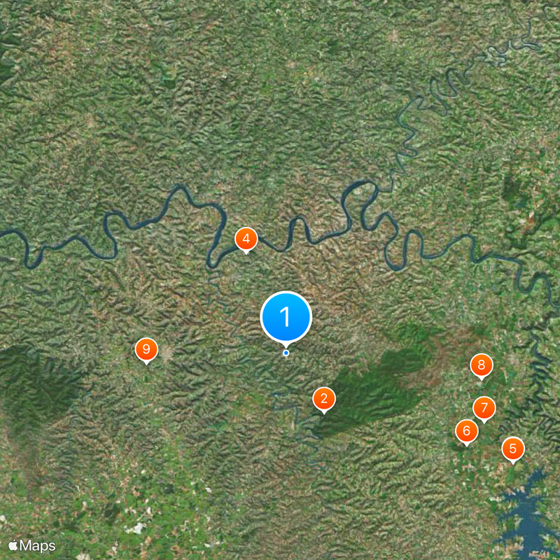
Ametista do Sul is a municipality in southern Brazil centered on amethyst crystal mining, situated at about 500 meters in elevation. The area contains numerous active and abandoned mines that shape the local economy and landscape, with mineral extraction being the main industrial activity.
The municipality was founded in 1992, emerging from settlements that developed during Portuguese colonial expansion in the 18th century. Amethyst mining became the dominant economic activity over time and shaped the modern character of the place.
The Catholic church here displays interior walls covered with amethyst, showing how residents have integrated local stones into their sacred spaces. This use of minerals in religious architecture reflects the community's strong connection to the gemstones found beneath the ground.
The area has several shops throughout that sell amethyst products and mineral goods, making it easy for visitors to find local crafts and souvenirs. Some abandoned mine sites have been converted into wine cellars and visitor attractions, allowing for exploration and tasting.
A pyramid structure stands in the area with interior surfaces completely decorated with locally extracted amethyst stones, creating an unusual architectural feature. This building showcases a creative and unconventional way of integrating minerals into local construction.
The community of curious travelers
AroundUs brings together thousands of curated places, local tips, and hidden gems, enriched daily by 60,000 contributors worldwide.