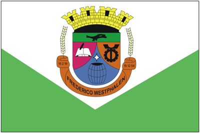
Frederico Westphalen, Administrative municipality in Rio Grande do Sul, Brazil.
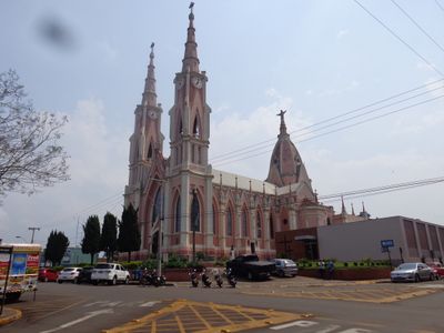
Frederico Westphalen is a municipality in Rio Grande do Sul situated at 375 meters elevation with a mix of residential areas, farmland, and industrial zones. The town sits among these different land uses in southern Brazil's landscape.
The municipality was officially established in 1954 after the Alto Uruguay region began developing around 1905 with hunters and early settlers. This period of settlement shaped what became the present-day community.
The population has strong Italian roots that shape local celebrations and community gatherings throughout the year. These traditions are woven into how people here connect with each other and their surroundings.
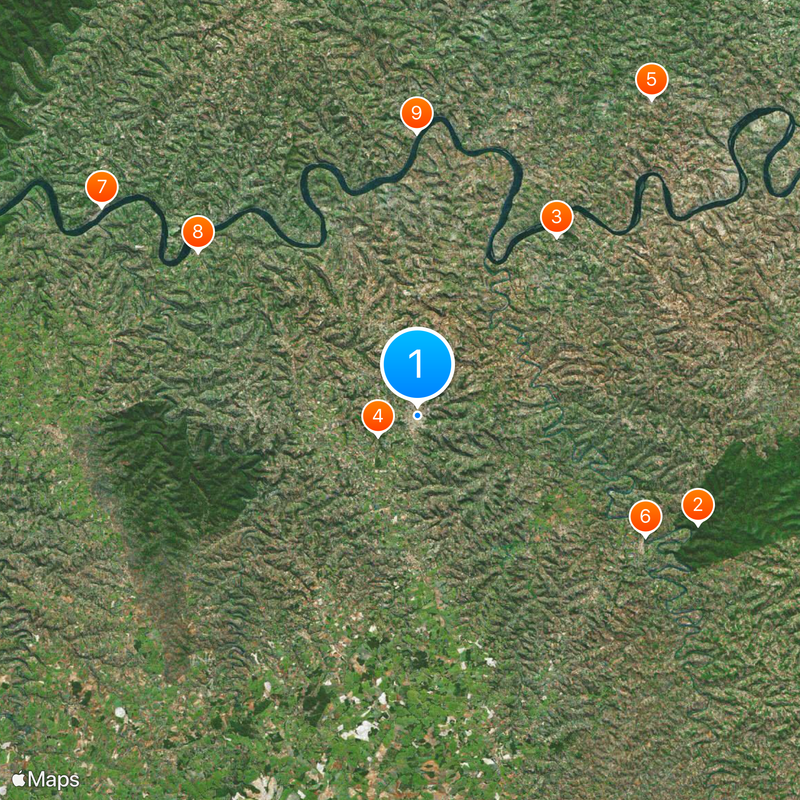
The BR-386 and RS-150 roads connect the town to neighboring cities and provide the main routes for regional travel. These transportation corridors make it easy to reach nearby areas.
Two local newspapers and several radio stations provide news and information to the community. This media landscape shows the importance of local communication in connecting people across the area.
The community of curious travelers
AroundUs brings together thousands of curated places, local tips, and hidden gems, enriched daily by 60,000 contributors worldwide.