Sarandi, Administrative division in Paraná, Brazil
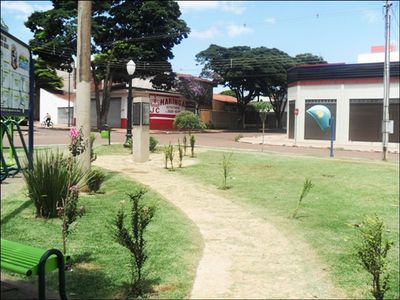
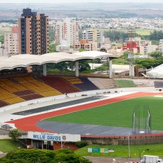
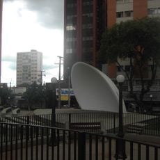
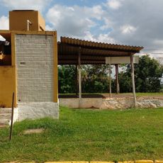
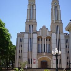
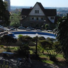
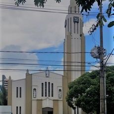
Sarandi is a municipality in the North Central region of Paraná, with residential neighborhoods connected by paved roads and functional commercial zones. The town layout follows a typical pattern found throughout inland Brazil, serving local residents with shops, services, and administrative facilities.
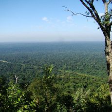
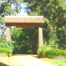
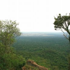
This place began as rural settlements in the 1930s and developed through coffee cultivation until a major frost in 1976 destroyed many plantations. That climate disaster forced the region to rebuild and modernize, leading to rapid urban growth in the following years.
The people here come from settlers who migrated from São Paulo and northeastern Brazil, bringing with them farming practices and local traditions. These roots continue to shape how the community lives and celebrates together.
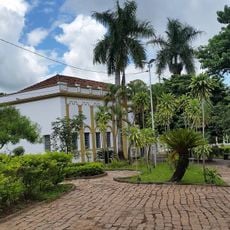
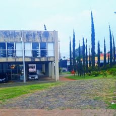
The town center is walkable and contains shops, banks, and administrative offices that operate during standard business hours. You can explore the main areas on foot and find most services concentrated in accessible locations.
This municipality was created in 1981 through a citizen-led vote where residents chose to separate from a neighboring town. That plebiscite led to official recognition in 1982 and gave the place its independence as an administrative entity.
Location: Paraná
Elevation above the sea: 592 m
Shares border with: Maringá, Marialva
Website: http://sarandi.pr.gov.br
GPS coordinates: -23.44389,-51.87389
Latest update: December 20, 2025 15:51
Cathedral of Maringá
6.9 km
Morro do Diabo State Park
111.5 km
Estádio Willie Davids
7.3 km
Telêmaco Borba Cable Car
160.7 km
Perobas Biological Reserve
100.4 km
Concha acústica de Londrina
74.6 km
Parque Ecológico Samuel Klabin
160.9 km
Morro do Diabo
113.1 km
Great Pontal Reserve
143.2 km
Mico Leão Preto Ecological Station
113.7 km
Ibiporã State Park
88.6 km
Cemitério da Colônia Japonesa
155 km
Museu e Arquivo Histórico Municipal
155.2 km
Teatro Municipal de Telêmaco Borba
161 km
Natural History Museum of Cornélio Procópio
128.4 km
Pirapozinho
134.8 km
Encontro dos Rios
152.2 km
Cathedral of St. Joseph, Campo Mourão
84.2 km
Cemetery of Harmonia
161.4 km
Praça Rocha Pombo
74.5 km
Capela Santa Cruz
8.6 km
Planetário de Londrina
73.6 km
Cineflix Aurora Shopping
72 km
Capela de Nossa Senhora do Perpétuo Socorro de Harmonia (Telêmaco Borba)
160.6 km
Cathedral of St. Sebastian, Presidente Prudente
155.3 km
Biblioteca Pública Municipal de Telêmaco Borba
161.1 km
Centro de Interpretação da Natureza Frans Krajcberg
161 km
Museu da Fauna e da Flora
160.9 kmVisited this place? Tap the stars to rate it and share your experience / photos with the community! Try now! You can cancel it anytime.
Discover hidden gems everywhere you go!
From secret cafés to breathtaking viewpoints, skip the crowded tourist spots and find places that match your style. Our app makes it easy with voice search, smart filtering, route optimization, and insider tips from travelers worldwide. Download now for the complete mobile experience.
A unique approach to discovering new places❞
— Le Figaro
All the places worth exploring❞
— France Info
A tailor-made excursion in just a few clicks❞
— 20 Minutes