
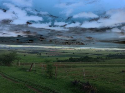
Santa Inês, municipality of Paraná, Brazil
Location: Paraná
Elevation above the sea: 378 m
Shares border with: Colorado, Itaguajé, Pirapozinho, Sandovalina, Santo Inácio
GPS coordinates: -22.63778,-51.90278
Latest update: March 21, 2025 17:12
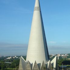
Cathedral of Maringá
87.9 km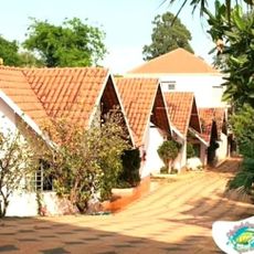
Ody Park Aquático
63.5 km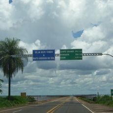
Puente Maurício Joppert
100.1 km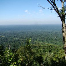
Morro do Diabo State Park
43.1 km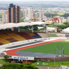
Estádio Willie Davids
86.5 km
Perobas Biological Reserve
160.8 km
Concha acústica de Londrina
107.1 km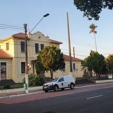
Estação Assis
152.3 km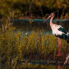
Lagoa São Paulo Reserve
105.5 km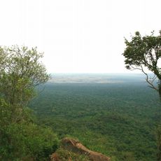
Morro do Diabo
44.9 km
Great Pontal Reserve
61.4 km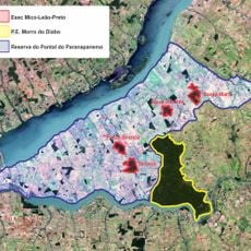
Mico Leão Preto Ecological Station
89.4 km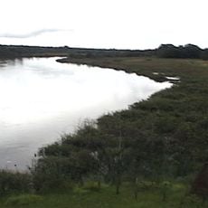
Cisalpina Private Natural Heritage Reserve
157.2 km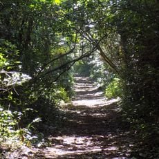
Ibiporã State Park
112.8 km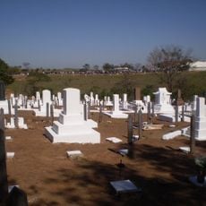
Cemitério da Colônia Japonesa
73.4 km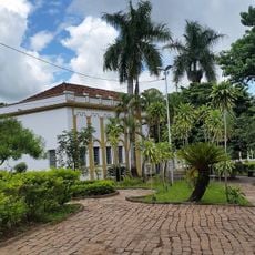
Museu e Arquivo Histórico Municipal
77 km
Natural History Museum of Cornélio Procópio
141.8 km
Museu de arte sacra Franciscano
162.8 km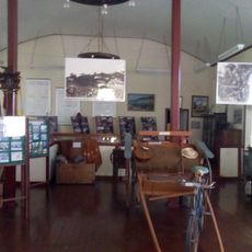
Historical Museum and Cultural Leto
153.1 km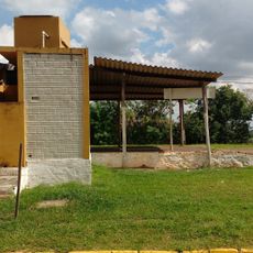
Pirapozinho
57.1 km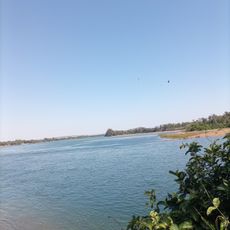
Encontro dos Rios
121.8 km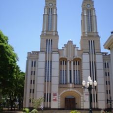
Cathedral of St. Joseph, Campo Mourão
163.9 km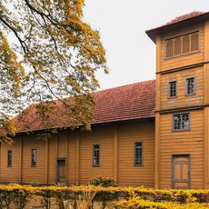
Capela Santa Cruz
87.5 km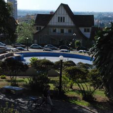
Praça Rocha Pombo
106.7 km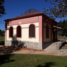
Memorial Irmãs Galvão
135.6 km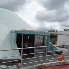
Planetário de Londrina
105.6 km
Cineflix Aurora Shopping
106.8 km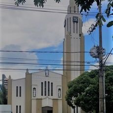
Cathedral of St. Sebastian, Presidente Prudente
78 kmReviews
Visited this place? Tap the stars to rate it and share your experience / photos with the community! Try now! You can cancel it anytime.
Discover hidden gems everywhere you go!
From secret cafés to breathtaking viewpoints, skip the crowded tourist spots and find places that match your style. Our app makes it easy with voice search, smart filtering, route optimization, and insider tips from travelers worldwide. Download now for the complete mobile experience.

A unique approach to discovering new places❞
— Le Figaro
All the places worth exploring❞
— France Info
A tailor-made excursion in just a few clicks❞
— 20 Minutes