Peabiru

Log in to your account

AroundUs is a community-driven map of interesting places, built by curious explorers like you. It grows with every review, story, and photo you share.
Connect to save your favorite spots, contribute locations, and create personalized routes.
Continue with Google
Continue with Apple
Continue with X
Continue with Facebook
Continue with email
By continuing, you accept our Terms and Conditions and our Privacy Policy
Create an account
Add to collection
Map
Suggest a change
Share

Peabiru, Municipality in Centro Ocidental Paranaense, Brazil.

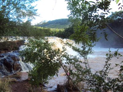
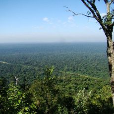
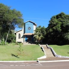
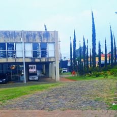
Peabiru is a municipality in central-western Paraná in southeastern Brazil, covering 468 square kilometers at an elevation of 533 meters. The area spans hilly landscapes shaped primarily by agricultural activities and rural settlements.

The municipality takes its name from the ancient Peabiru Way, an indigenous trade route connecting the Atlantic Ocean to the Pacific Ocean across South America. This connection to one of the oldest pathways in the region has shaped the town's historical identity.

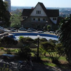
The people of Peabiru, called Peabiruenses, shape the town through their local administration and community life centered around Praça Eleutério Galdino de Andrade. This square serves as the heart of the municipality, where everyday life and local identity come together.

The municipality offers digital access to governmental services, including health campaigns, business registrations, and administrative documentation through official online platforms. Visitors can inquire at local offices about what services are currently available for their needs.

Agriculture forms the backbone of the local economy, with farming activities contributing substantially to the municipality's financial resources. This agricultural focus sets the town apart from many other communities in the region.

Location: Paraná

Elevation above the sea: 533 m

Shares border with: Campo Mourão, Araruna, Barbosa Ferraz, Corumbataí do Sul, Engenheiro Beltrão, Fênix, Quinta do Sol, Terra Boa

Website: http://peabiru.pr.gov.br

GPS coordinates: -23.91278,-52.34278

Latest update: December 10, 2025 15:53

Photos
Reviews

Visited this place? Tap the stars to rate it and share your experience / photos with the community! Try now! You can cancel it anytime.

« Peabiru - Municipality in Centro Ocidental Paranaense, Brazil » is provided by Around Us (aroundus.com). Images and texts are derived from Wikimedia project under a Creative Commons license. You are allowed to copy, distribute, and modify copies of this page, under the conditions set by the license, as long as this note is clearly visible.

Discover hidden gems everywhere you go!

From secret cafés to breathtaking viewpoints, skip the crowded tourist spots and find places that match your style. Our app makes it easy with voice search, smart filtering, route optimization, and insider tips from travelers worldwide. Download now for the complete mobile experience.

Around Us App Screenshot

A unique approach to discovering new places

Le Figaro

All the places worth exploring

France Info

A tailor-made excursion in just a few clicks

20 Minutes